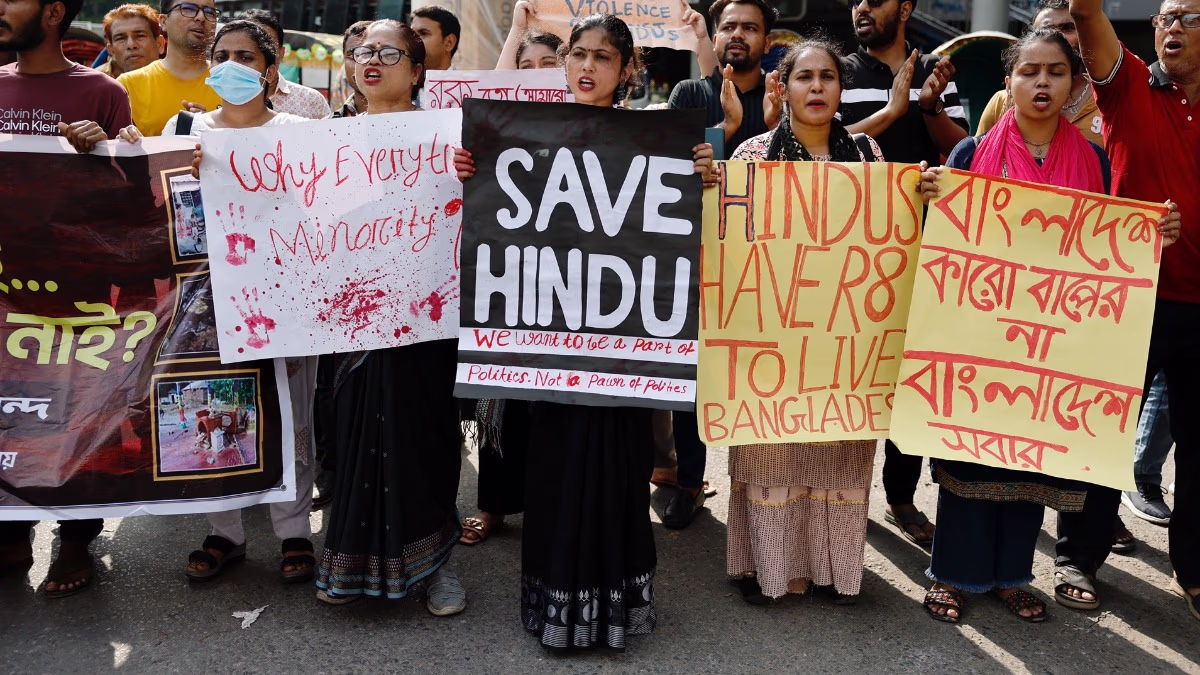
Environmental activists have raised concerns that the government's new definition may expose large parts of Aravalli to mining and construction. Let's explore these pressing issues and challenges...
What are the true boundaries of Aravalli? How will height be measured?
Will 90% of the hills be opened for mining?
Will illegal mining increase in areas excluded under the new definition?
Will this pave the way for legal mining in the future?
Will this lead to large-scale activities against forests?
Environment Minister Bhupendra Yadav attempted to clarify these concerns; while some of his responses were satisfactory, others were incomplete.
Read Also:
The Minister stated that until scientists craft a comprehensive plan, no new mining leases will be granted in Aravalli. Only 0.19% of the entire 144,000 square km is suitable for mining, and even then, it would only be under special, scientific circumstances like strategic minerals or nuclear energy needs—no concessions for real estate. This was reassuring regarding mining apprehensions.
Source: aajtak
The new rules aim to curb illegal mining while allowing sustainable legal mining under strict drone surveillance. Here, the Minister's response was lacking. There was no direct answer on how illegal mining would be stopped, instead blaming the previous government in Rajasthan for allowing illegal activities.
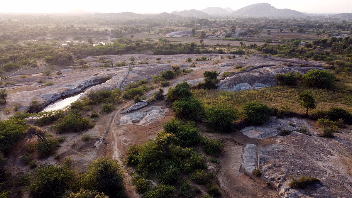
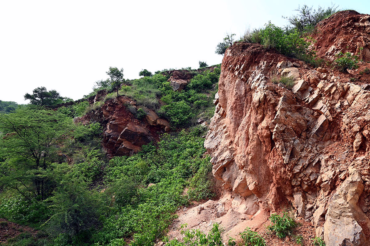
Presently, mining is possible in just 217 square km. The new definition aims to preserve not just heights but also the bases, slopes, and connected regions of hills—yet the specifics remain uncertain. No clear numbers were provided regarding how many hills will remain protected. According to the 2010 Forest Survey of India report, only 8% of the about 12,000 hills are over 100 meters high. What happens to the rest of the 92%?
Illegal mining has been a long-standing issue in Aravalli. Strict mining regulations were established by the Ministry of Environment in the 1990s, allowing only approved projects; yet violations persisted. In 2009, the Supreme Court banned mining activities in Haryana's Faridabad, Gurugram, and Mewat districts.
In May 2024, the court barred any new mining leases or renewals in Aravalli, tasking the Central Empowered Committee (CEC) with conducting a comprehensive study. The CEC offered their recommendations in March 2024.
Source: aajtak
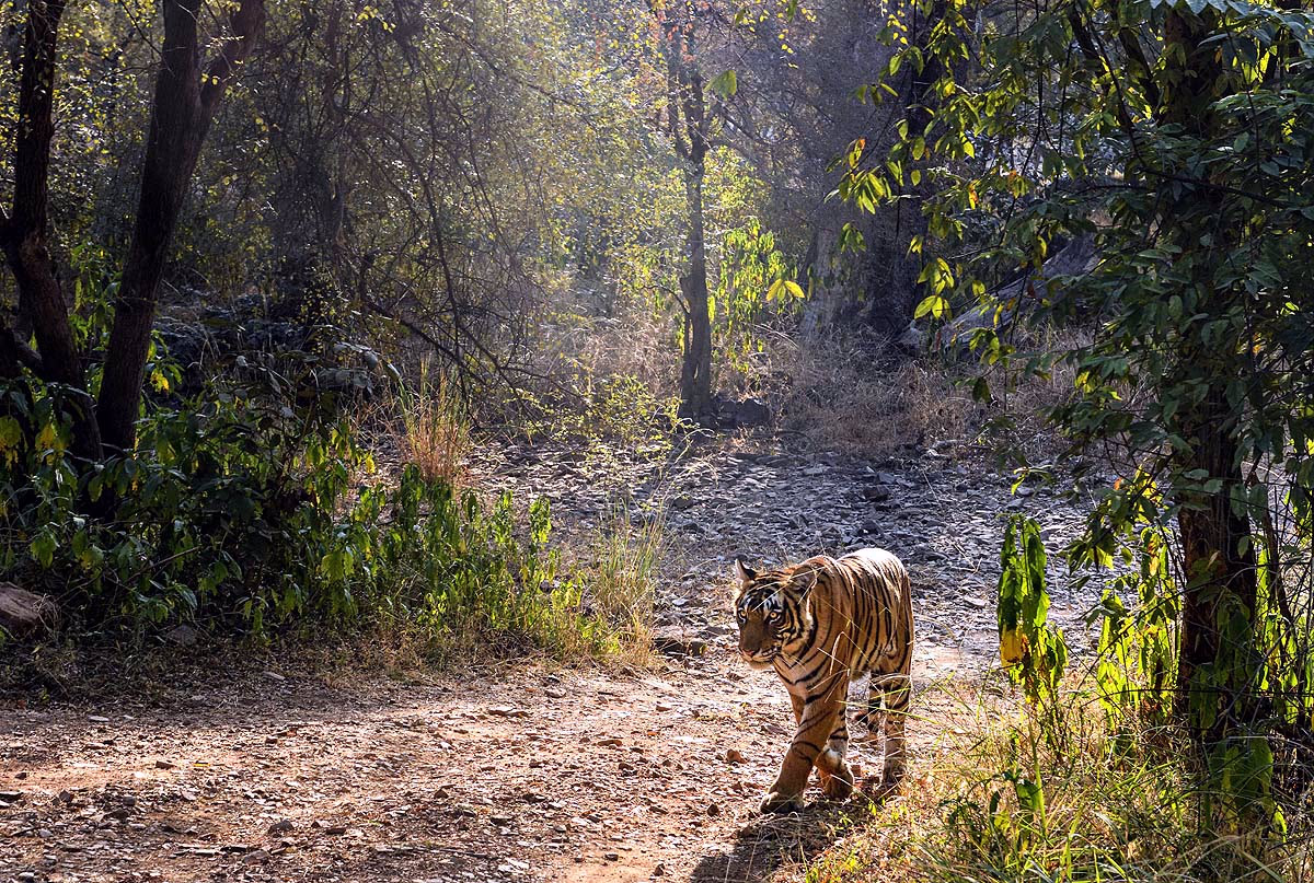
All states should conduct a full scientific mapping of Aravalli and assess the environmental impacts of mining. A complete ban on mining was recommended in sensitive zones—like protected forests, water sources, tiger corridors, aquifer recharge zones, and Delhi-NCR. There must be strict control over stone crushing units. Until accurate mapping and study are complete, no new leases will be granted or renewed.
In November 2025, the Supreme Court included these recommendations in its mandate. In June 2025, the Central Government launched the Aravalli Green Wall Project to increase greenery within a 5 km buffer zone in 29 districts of Aravalli spanning Gujarat, Rajasthan, Haryana, and Delhi, aiming to green 26 million hectares of degraded land by 2030.
Read Also:
The states—Gujarat, Rajasthan, Delhi, and Haryana—each apply different criteria to define Aravalli. The Forest Survey of India (FSI) noted in 2010 that a slope above 3 degrees and an area 100 meters from a hill base should serve as a buffer. Hills over a 500-meter distance share continuity as Aravalli.
To resolve the controversy, a court committee was formed, comprising the Ministry of Environment, state forestry departments, Geological Survey of India, FSI, and CEC members. The committee submitted its report in October 2025, stating that hills above 100 meters from local ground should be considered Aravalli. If two or more such hills lie within 500 meters, the land between them should also be deemed Aravalli.
Source: aajtak
Amicus Curiae K. Parameswar opposed this, calling the definition too simplistic. Below 100-meter hills would be opened to mining, risking Aravalli's continuity. However, Additional Solicitor General Aishwarya Bhati argued that the FSI slope-buffer definition would exclude even larger areas from Aravalli. The 100-meter definition is more inclusive.
The court ordered the creation of a Sustainable Mining Management Plan (MPSM) for all of Aravalli to ensure...
A total ban on mining in certain areas.
Environmental impact assessments.
Restoration measures for degraded lands.
Assessment of environmental carrying capacity.
Mapping of sensitive forests and wildlife corridors.
This directive aims to balance Aravalli's protection with ongoing development. All eyes are now on how faithfully both state and central governments implement these mandates.
Read Also:
Scientist A. Sikarwar insists mining clearances vary across Aravalli's four states, needing unified guidelines, which the Ministry of Environment should provide. Consider the red stones used for Ram Temple; they originate here, highlighting Aravalli's significance.
Source: aajtak
He also highlighted the rampant illegal mining and its potential for destruction unless the mining height limit is revised to 30 meters. The 1,048 peaks above 100 meters should be designated as eco-sensitive zones.
Further, the method of measuring height from ground level is questioned since globally, heights are measured from sea level, a more reliable constant. Local geographic boards should display elevation, latitude-longitude, and geographical position to raise awareness.
Satellite imagery for topological studies could leverage ISRO's NISAR satellite, keeping the imagery reserved with the government to track Aravalli's status.
Read Also:
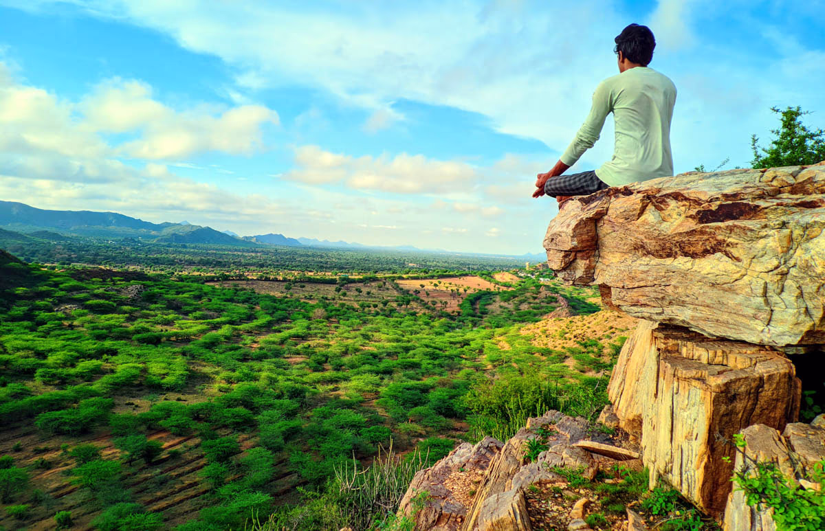
Geologist Prof. Nitish Priyadarshi warned that parts of Aravalli—over 250-300 million years old—are now only remnants, holding evidence of ancient India. Destruction here could expand the Thar Desert, causing a water crisis. Just as the Himalayas block cold and snow, Aravalli bars desert expansion. This vital biosphere nurtures biodiversity. If leveled, the cascading impact would threaten other hills, jeopardizing the range's very foundation.