In November 2025, the Supreme Court affirmed a uniform definition for the Aravalli hills, considering any landform 100 meters or taller as part of the Aravalli range. Should two or more such hills be within a 500-meter radius of each other, they collectively form the Aravalli Range.
This definition arises from a central government committee's recommendation, yet controversy swirls around it. Environmentalists argue it might leave over 90% of Aravalli unprotected, whereas the government sees it as an extension of older policies.
Read More:
The story begins in April 2002 when the Central Empowered Committee received complaints concerning illegal mining in Aravalli regions of Haryana. By October 2002, the committee halted mining operations, and the matter escalated to the Supreme Court. The court recognized the threat mining posed to Aravalli's existence, issuing a mining suspension across Haryana, Rajasthan, and the wider Aravalli region on October 30, 2002.
Source: aajtak
The industry came to a standstill in Rajasthan, affecting thousands whose livelihoods depended on marble, granite, and other mining-related trades. The then Ashok Gehlot administration pleaded with the court to allow ongoing mining, citing severe economic impact. Consequently, in December 2002, the court relented for active mining projects but restricted new operations.
Seeking a permanent solution, the Gehlot government established a committee. By May 2003, it embraced American geomorphologist Richard Murphy's doctrine, defining hills as only those rising 100 meters from sea level. However, Murphy's broader structural and erosional theories were overlooked.
Read More:
In August 2003, the Gehlot government directed districts to investigate mining potential below 100 meters. When the Vasundhara Raje government took over, it proceeded with this formula, initiating mining allocations.
Interpreting this as a breach of the 2002 court order, the Bonded Labor Liberation Front filed a petition. By April 2005, the court intervened, halting new allocations.
Source: aajtak
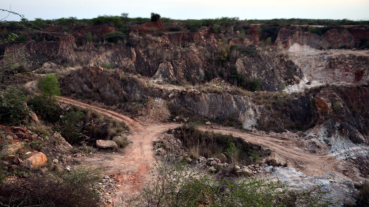
Subsequent years saw mining resume under Gehlot's rule, albeit not without oversight failures. Height assessments were flawed, showing heights around 80-90 meters where actual elevations soared to 160 meters, leading to extensive mining activity in Alwar, Sirohi, and Udaipur.
By 2010, reports from the Forest Survey of India and CEC laid bare rampant illegal mining in Rajasthan; 25% of 2,269 hills in Alwar had vanished. The Supreme Court sought clear definitions from the central government concerning Aravalli.
Advancing Murphy's rule in November 2025, the central authority decreed hills rising 100 meters from local relief levels would be considered Aravalli, while protecting the entire lowest contour area, including slopes. By November 20, 2025, the Supreme Court applied this rule uniformly across Rajasthan, Haryana, Gujarat, and Delhi.
Source: aajtak
The court has also frozen fresh mining leases until a comprehensive sustainable mining plan for the Aravalli is established. Officially, this doctrine has stood in Rajasthan since 2006 and now, it's standardized across the region, purportedly safeguarding over 90% of the area.
However, critics declare it a death knell for Aravalli, fearing exclusion of smaller hills (ranging 10-50 meters) from protection. Potential ramifications include Thar Desert expansion, falling groundwater levels, and increased pollution in Delhi-NCR.
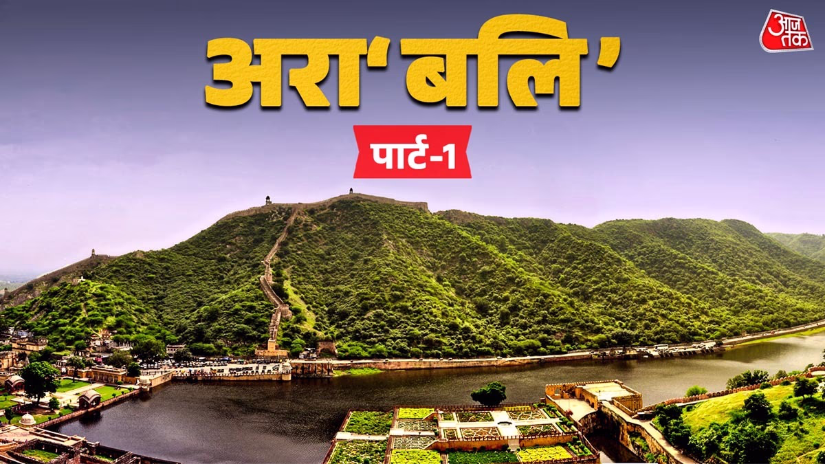
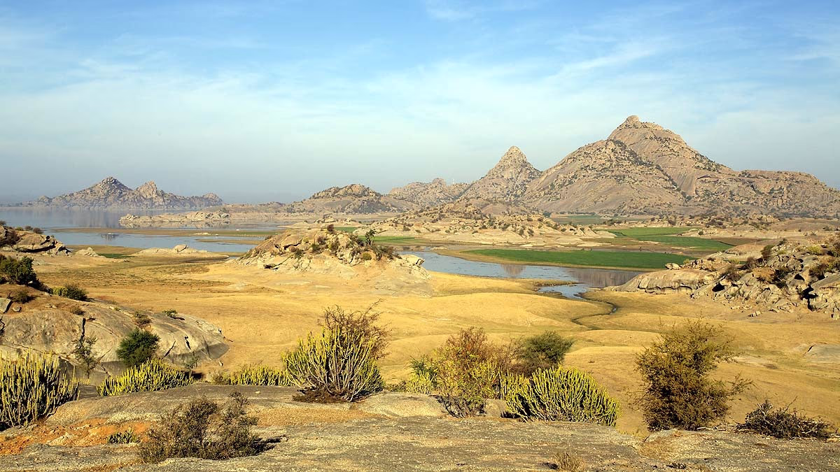
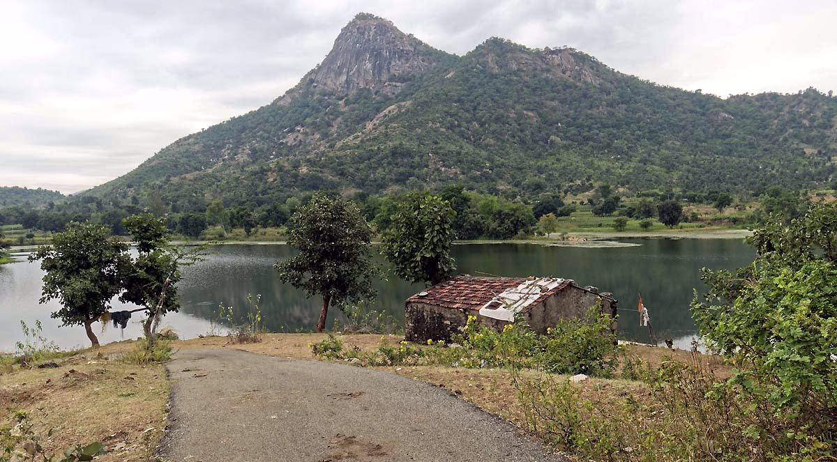
The Aravalli is one of India's eldest mountain ranges, a natural barricade to the Thar, and a climate balancer for North India. With this ruling, the #SaveAravalli campaign has gained traction. The future hangs in balance: will this definition ensure protection or propagate mining?