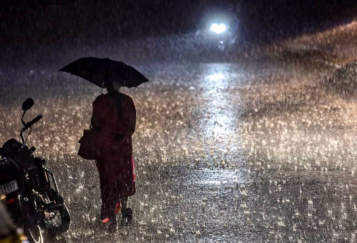
Unusual weather in May 2025 with heavy rain and storms akin to July's monsoon.
Meteorologists warn of dangers like floods, landslides, and crop damage.
The Southwest Monsoon is likely to arrive in Kerala on May 27, ahead of schedule.
IMD issues Orange and Yellow alerts for heavy rain in some districts of Kerala.
A heatwave is possible in northwest India by the end of May, indicating complex weather patterns.
Source: aajtak
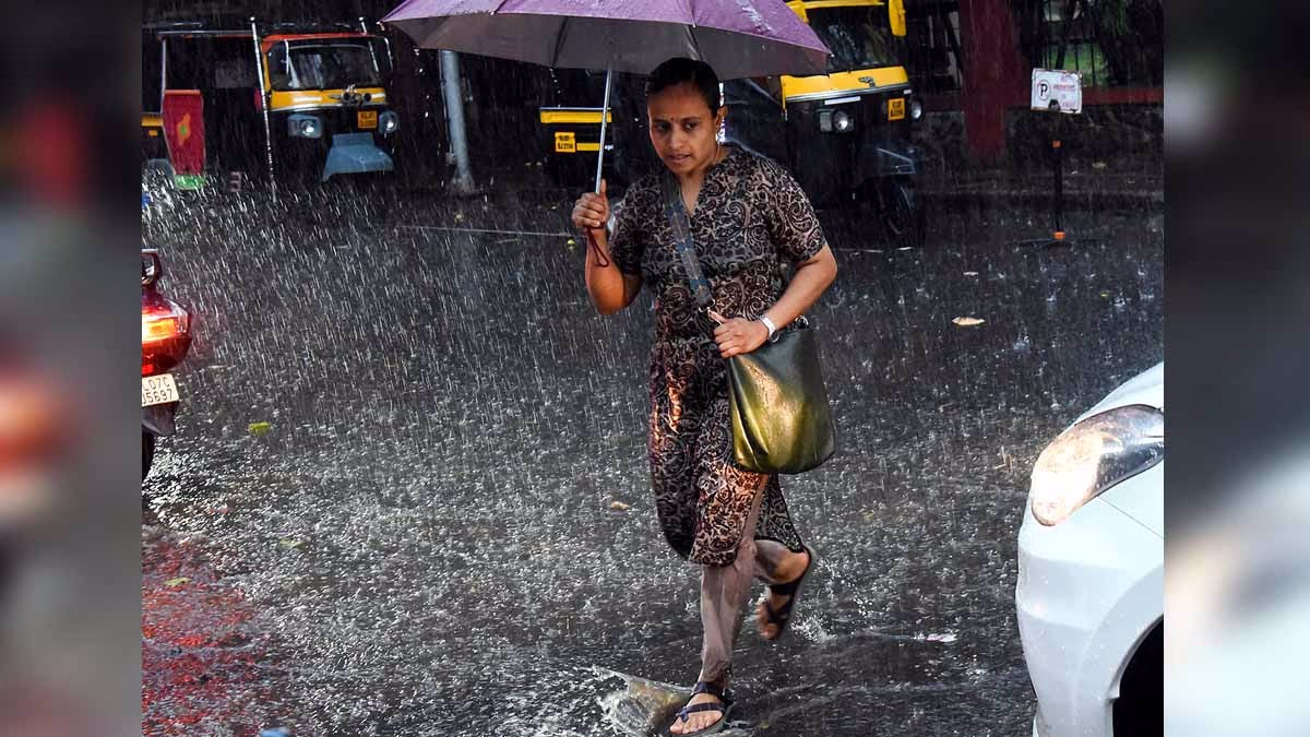
May 2025 has been an unusual month for India weather-wise. May typically sees scorching heat, but this year, temperatures have been below average. Heavy rain, thunderstorms, and dust storms have been witnessed. This pattern, resembling the monsoon mayhem of July, was observed in May.
Also Read:
Current Weather Status
In May 2025, temperatures in many parts of India were 2-5°C below normal. Maximum temperatures were low in western, central, and eastern India, with minimum temperatures 1-3°C below average in eastern and central regions. This is unusual, as May is generally a month of intense heat.
As for rainfall, May experienced abnormally heavy rains. Across India, rainfall was 20% above average from May 2-8, and 35% above average from May 8-14. This is attributed to western disturbances and moisture from the Bay of Bengal and the Arabian Sea.
Affected areas include Rajasthan, Madhya Pradesh, Saurashtra-Kutch, Gujarat, Haryana, Delhi, West Bengal's Ganges region, Uttarakhand, Kerala, Tamil Nadu, Tripura, Meghalaya, Assam, Arunachal Pradesh, West Bengal, Sikkim, Konkan, Goa, South Interior Karnataka, Rayalaseema, Chhattisgarh, and Odisha.
The heavy downpour in Delhi on May 25, 2025, registered 81.4 mm of rain in just a few hours, making it the wettest May on record for Delhi, clearly exemplifying the unusual weather pattern.
Source: aajtak
Monsoon and Alerts
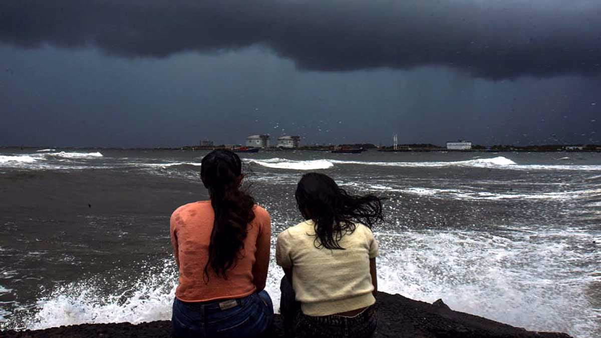
The India Meteorological Department (IMD) has predicted that the southwest monsoon will hit Kerala's coast on May 27, 2025, instead of the usual June 1. This four-day early arrival suggests that the monsoon may bring heavier than normal rainfall this year. The rains between June and September are expected to be 105% of the Long Period Average (LPA), with a possible deviation of ±5%.
IMD has also issued alerts for heavy rainfall. Orange alerts have been issued for Thrissur, Malappuram, Kozhikode, Wayanad, Kannur, and Kasaragod districts of Kerala. Yellow alerts are in place for Thiruvananthapuram, Kollam, Pathanamthitta, Alappuzha, Kottayam, Idukki, Ernakulam, and Palakkad districts.
Also Read:
Heatwaves and Other Patterns
Despite the lower-than-average temperatures, IMD warns of a potential heatwave at the end of May in northwest India, particularly in Rajasthan and Haryana. On May 21, 2025, ten locations in Rajasthan recorded temperatures above 44°C, highlighting the intensity of the heat. This illustrates the complexity and regional variance of weather patterns. Western disturbances have played a significant role, arriving twice in May after four occurrences in March-April, causing drops of 5-7°C after wet weather and storms.
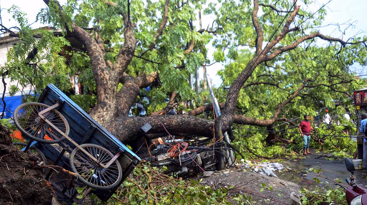
Potential Hazards and Risks

Source: aajtak
Sudden rains and storms can pose multiple threats, including...
Flooding: Heavy rains can lead to floods in low-lying areas, particularly urban regions with weak drainage systems.
Landslides: In hilly terrains such as Uttarakhand and Kerala, heavy rains increase the risk of landslides.
Crop Damage: Untimely rain can damage standing crops, causing economic losses for farmers.
Power Outages: Storms can topple power lines, causing prolonged power outages.
Traffic Disruptions: Floods and storms can hinder rail and road traffic, leading to inconvenience for commuters.
Health Risks: Stagnant water can breed mosquitoes, spreading diseases like malaria, dengue, and other vector-borne illnesses.
People must stay alert and heed local authorities' guidance to tackle these hazards effectively.
Source: aajtak
Meteorologists' Insights
IMD's DG, M Mohapatra, stated that the trend of unusual rains and storms continues in May. A heatwave is likely to sweep through Haryana and Uttar Pradesh in the last week of May. Meanwhile, weather expert M Rajeevan mentioned that the monsoon's early onset may not be affected by May's cooler temperatures. These insights highlight the complexity of weather patterns, filled with various regional threats.