Around 88 million years ago, India began its journey towards Asia, then a massive island. At that time, the world's tectonic plates were numerous and small. Their movement towards each other resulted in the formation of continents. The Indian plate collided with the Eurasian plate, creating significant pressure.
Watch the full video on the formation of the Himalayas below...
This immense pressure gave rise to towering mountain ranges. It's said that where we now see the Himalayas, there was once the Tethys Sea, nestled between the lands of Gondwana and Angaraland. When India collided with the Eurasian plate, the sea disappeared, and mountains rose due to the resultant pressure.
Creation of the Himalayas began some 40 to 50 million years ago. Unlike other mountain-forming collisions, there was no subduction, meaning neither plate was forced underneath the other. Instead, the land began to rise. Stretching from west to east, the Himalayas span approximately 2500 kilometers, with its western edge near the Nanga Parbat at the northern bend of the Indus River.
Source: aajtak
The eastern border lies near the Namcha Barwa, or Yarlung Tsangpo River in the west. Width of the Himalayas vary, spanning between 150 kilometers to as much as 350 kilometers in different sections.
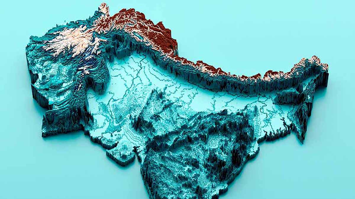
The Himalayas hang like a bowl over India
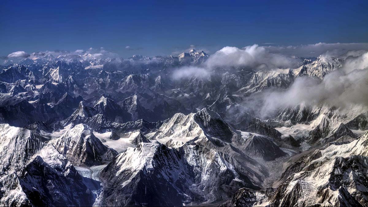
From Kashmir to Arunachal Pradesh, the 2500 km stretch of the Himalayas from the Indus Valley's Nanga Parvat to the northeast's Namcha Barwa appears to hang over India like a bowl when viewed from above.
These very Himalayas house 10 of the world's 14 peaks that rise above 8 km. The mountains were formed due to the contraction of the earth's upper layer, or crust. The crustal thickness in the Hindu Kush, Pamir, and Nanga Parvat regions to the northwest is 75 km, while in Jammu and Kashmir it's 60 km.
In Himachal Pradesh, it is merely 51 km -- illustrating that the depth becomes shallower as it approaches this area, and then deepens back to 75 km towards the high Himalayas and Tibet, forming a bowl-like shape in the crust from Himachal Pradesh to Nepal.
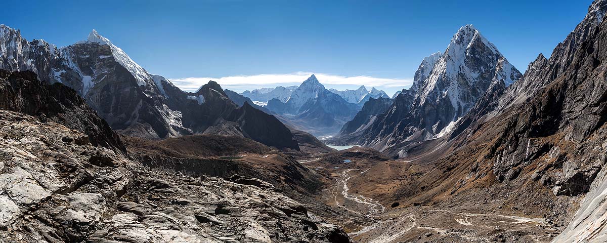
The Himalayas are the world's youngest mountain region
The Himalayas, the globe's youngest mountain range, present an arc-shaped expanse. The elevation near Nanga Parbat reaches 8114 meters, whereas it's 7755 meters near Namcha Barwa. To the north lies China and Tibet; to the south, the Gangetic plains. In reality, the Indian tectonic plate advances towards the Tibetan plate at a speed of 15 to 20 mm per year.
Of Glacial Lakes and Mountains: The Hidden Dangers in the Himalayas
Source: aajtak
When a vast landmass pushes against a larger one, energy is bound to be stored. The Tibetan plate cannot move, so the energy builds up beneath both plates. This energy is released in small earthquakes, which are not alarming, but rapid release could impact half of India, the entirety of Nepal, Pakistan, China, and even Myanmar.