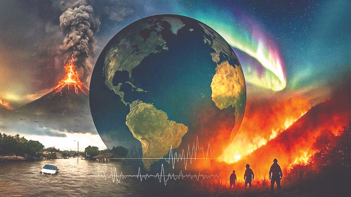
Right now, the world's weather has taken a dramatic turn. Volcanic eruptions here, cyclones causing floods there, the sun flaring up, and Earth trembling—all these events are interconnected, and their cumulative effect is felt worldwide, including India. This year witnessed extreme weather calamities, and the threat looms large for the coming years.
Meteorologists and experts attribute this to a disruption in the QBO (Quasi-Biennial Oscillation Collapse). Winds 20-30 km above Earth have reversed direction unusually early, around November, instead of January-February.
This is a significant phenomenon, altering weather globally. It's as if the engine that drives weather has shifted gears into reverse. Imagine driving a car, suddenly going in reverse, and losing control—it's a recipe for disaster.
The American weather service NOAA notes that these winds are reversing from west to east faster than usual, 2-3 months earlier, impacting La Niña significantly, expected to last from November 2025 to February 2026. This QBO reversal causes erratic storms and precipitation in unlikely areas.
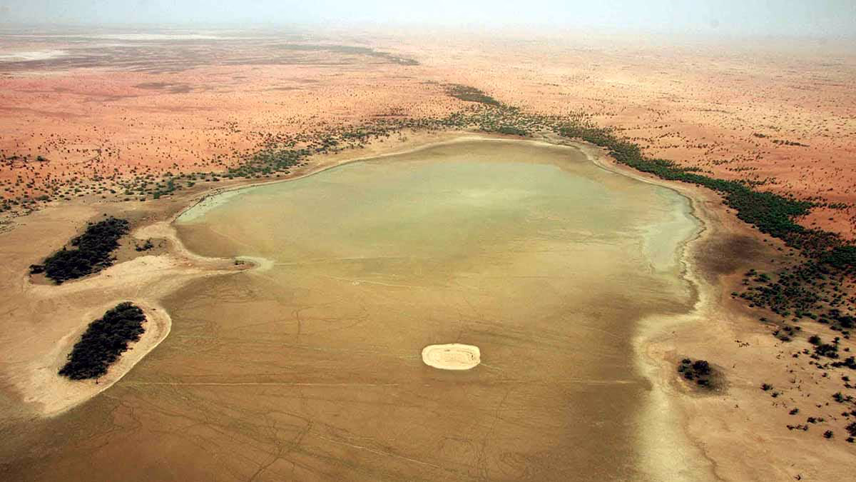
Extreme weather events like floods, droughts, and heatwaves tend to cluster together. India's position between the Indian and Pacific Oceans will lead to direct and intense impacts.
Source: aajtak
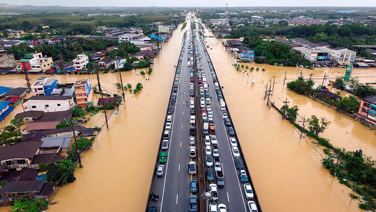
Southeast Asia (Vietnam, Indonesia, Philippines) faces severe flooding and storms.
Record heat is affecting sea waters (notably in the western Pacific and Indian Ocean).
The disintegration of upper atmospheric winds leads to uncontrolled weather patterns below, causing rain, storms, and drought to occur more frequently and intensely.
High above the stratosphere, an engine alternates between easterly and westerly winds every two years, controlling the climate below. However, NOAA's zonal wind dataset shows these winds' paths have fractured in 2025—indicative of a complete reversal.
Causes:
Climate change has increased sea surface temperatures, particularly in the western Pacific and Indian oceans (2–3°C above average), destabilizing upper atmospheric currents. While La Niña indicates a cooling ocean, combined with upper air shifts, it creates significant disruption.
Timing of Impacts:
Effects will manifest within 15-30 days, persisting until 2026. According to the Indian Meteorological Department, this will cause irregular winter (2025-26) weather.
Source: aajtak
1. Northeast Monsoon (October to December 2025)
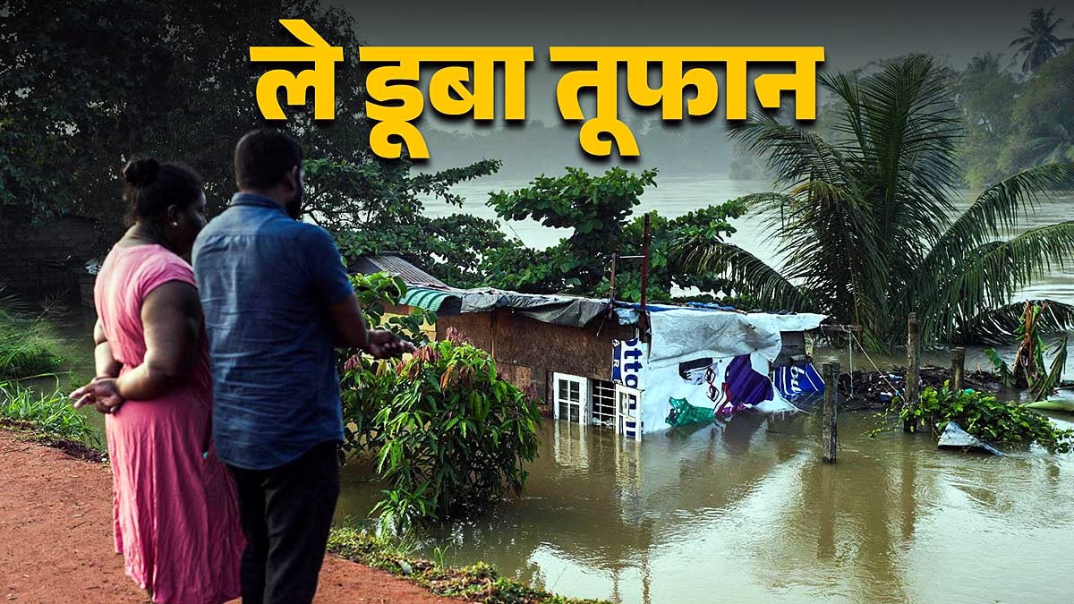
Typically, regions like Tamil Nadu, Andhra Pradesh, Kerala, Karnataka, and Puducherry experience light to moderate rainfall with one or two minor cyclones. However, due to the QBO disruption, this pattern is expected to change drastically, with these states facing 20-30% more rainfall than usual.
The Bay of Bengal might see 2-3 powerful cyclones, resembling the rapidly intensifying storms seen in the Philippines-Vietnam region. Coastal cities like Chennai, Cochin, Visakhapatnam, Kakinada, and Machilipatnam could again face severe flooding. A significant weather system might develop by early December.
2. Winter Season (December 2025 to February 2026)
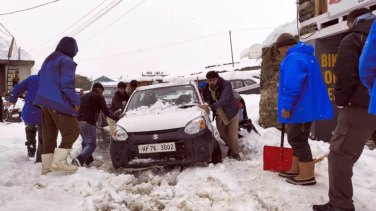
India's winter typically brings mild chilliness, with western disturbances causing snowfall in Jammu-Kashmir and Himachal, along with light rainfall in plains. This year, La Niña already increases the cold (2-4°C below normal), but the QBO disruption will further exacerbate weather irregularities.
This translates to an extremely cold December and January, with cold waves, followed by an unexpected 5-7°C temperature rise in February. Dense fog will persist for 10 to 15 days across Delhi, Punjab, Haryana, Uttar Pradesh, Bihar, while heavy snowfall and avalanche risks will surge in Himachal, Uttarakhand, and Jammu and Kashmir.
Source: aajtak
3. Summer Season (March to May 2026)
Normally, March-April-May sees temperatures between 40 and 45°C. However, with this QBO collapse, the upcoming summer might break records. Central India—Maharashtra, Madhya Pradesh, Chhattisgarh, Telangana, Odisha, Jharkhand, and eastern Rajasthan—could reach temperatures between 48 and 50°C.
There will be sustained heatwaves lasting 15 to 20 days. The impact of QBO bending jet streams will halt rain systems, creating drought conditions. Cities like Nagpur, Bhopal, Ahmedabad, and Raipur might face daytime temperatures soaring to 48-50°C, potentially increasing heat-related deaths dramatically.
4. Southwest Monsoon (June to September 2026)
Typically, India receives 90-100% of Long Period Average (LPA) rainfalls, with the monsoon reaching Kerala by early June. However, in 2026, the combined effects of QBO and La Niña will destabilize monsoons. The monsoon could be delayed in Kerala, arriving in the last week of June or early July.
Initially weak, the monsoon will activate by July-August, leading to 110-120% heavy rainfall in various places. This means severe flooding in areas like Bihar, West Bengal, Assam, Uttar Pradesh, Gujarat, and Maharashtra; while other areas face prolonged drought. Unregulated, delayed, and destructive monsoon patterns will predominate.
The upcoming 12 months will be the most challenging weather-wise for India. This change is not just bad weather; it signifies a major fracture in the global climate mechanism, impacting every home, farm, and city.
Source: aajtak
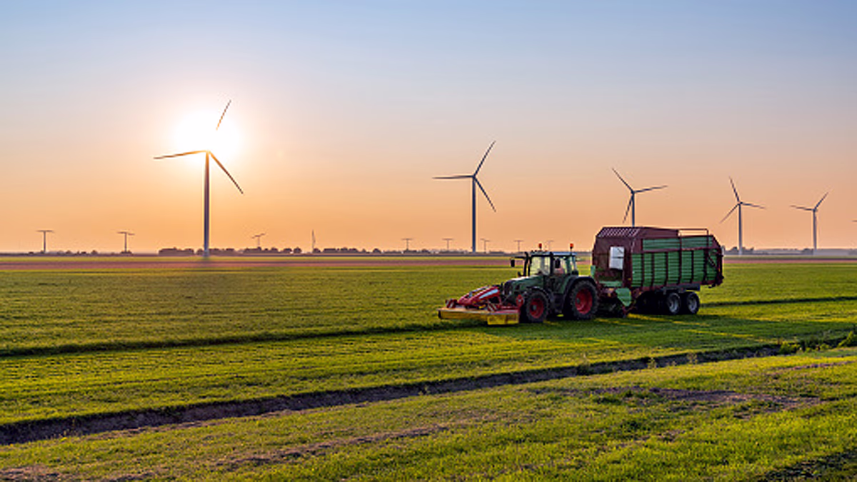
Europe will experience a harsh winter, followed by sudden floods damaging crops and escalating energy crises. In America, areas like California will face weeks of heavy rain leading to floods and landslides, harming the economy. Australia will either witness record floods or droughts, affecting agriculture, while Saudi Arabia's oil production could be disrupted by heat and erratic rains, with La Niña offering minor respite. Overall, these countries’ GDP might fall by 1-2%.
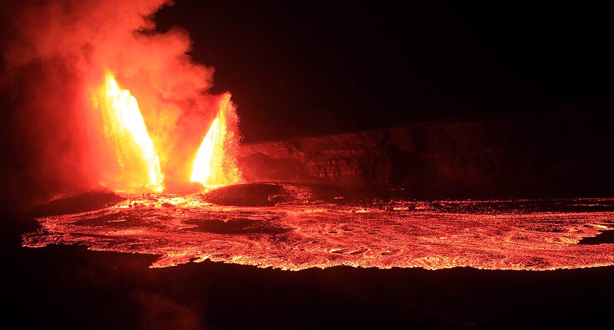
The QBO's collapse doesn't directly link to volcanic or seismic activities, though extreme weather related to it can alter ground pressure. Earthquakes sometimes trigger volcanoes by magma movement. While linked to tectonic plate activity, QBO's primary impact is on weather, not geology. Scientists assert these are separate events, but climate change connects them.
Direct impacts: Heat can cause dehydration, heat strokes, and deaths; floods can lead to drowning and injuries, while cold can cause hypothermia.
Indirect impacts: Spread of diseases (malaria, dengue), depression from stress, increasing cardiovascular diseases, with the most vulnerable being the elderly and children.
The erratic monsoon in 2025-26 may hit agriculture by 10-20%, causing a rise in food prices. Floods and droughts may cost the GDP 1-2%, though good rainfall due to La Niña could keep growth at 6.5-7%, with an overall potential decline of 0.5-1%.
Source: aajtak
Rabi Crops (Wheat, Gram, Mustard, Potato)
Intense cold and fog in December-January will delay crop maturity.
Unexpected warmth in February-March could shrink grain size.
Wheat yield might reduce by 10-20% in Punjab, Haryana, and Uttar Pradesh.
Horticulture (Apple, Grapes, Oranges, Mango)
Apple crops in Jammu and Kashmir and Himachal will lack adequate chill conditions.
Mango blossom in Maharashtra-Madhya Pradesh will be limited.
Kharif Crops 2026 (Rice, Maize, Soybean)
Irregular monsoon will delay sowing, with subsequent floods risking crop loss.
Australia: Record floods or drought.
Europe: Harsh winter, and then sudden floods.
America: Intense atmospheric rivers in California leading to persistent rain.
Southeast Asia: Continual storms and flooding (Philippines, Indonesia, Thailand).
What occurs in Vietnam and the Philippines will mirror in India 15-30 days later. The QBO breakdown is akin to a house of cards collapsing.*
Source: aajtak
Professor Pankaj Kumar from the Indian Institute of Science Education and Research (IISER), Department of Earth and Environment, explains that extreme weather disasters are occurring worldwide. Local rain isn’t just a result of nearby weather systems but derives from global climatic patterns. This is evident in large-scale global weather patterns during the monsoon and winter rains.
The current conditions indicate low-pressure systems will draw in high-pressure air, increasing cold conditions. Siberian winds affect our region. With low-pressure systems forming, they pull in air like a pump extracts water, further influenced by existing western disturbances. La Niña's presence now will escalate cold in upcoming days.
Globally, it seems La Niña will traverse lower altitudes, not over the Himalayas, leading to increased snowfall, raising cold levels in flat terrains. The world's climate is currently in a transition phase, with global warming rising. The Indian Ocean has warmed by 1°C, creating substantial moisture. If supported by weather patterns, it could lead to severe weather.
New terms have emerged beyond extreme weather—Compound Extreme Weather, which means when multiple weather patterns combine to trigger each other, sparking severe climate conditions. Right now, Malaysia, Indonesia, and the Philippines are facing such compound extreme weather.

Source: aajtak
Former IIT Roorkee researcher and glaciologist Dr. Praveen Kumar Singh states that climate change has severely impacted Indian agriculture. Over the past century, temperatures have risen by 0.7°C, with each decade increasingly warming. Heat days, intensity, and duration have surged. By 2030, 90% of South Asians will endure hazardous heatwaves. Laborers, animals, and crops—all are at risk.
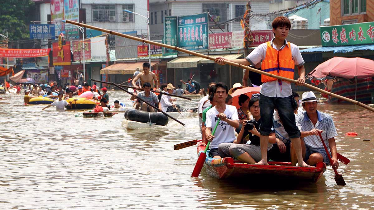
The monsoon is now erratic and uncontrollable. Rainfall is reducing in the global fields, the northeast, and central India, yet sudden floods strike within hours. In one season, one district floods while the neighbor remains parched. Extreme weather amplifies each year. Urban areas witness streets becoming rivers within hours.
Rural regions frequently face flash floods and landslides. Glacier lakes in the Himalayas burst, coastal regions experience salt intrusion, and stronger cyclones emerge. One year it's a heatwave, next it's floods—this is the new norm, directly attacking crops. Wheat, rice, and maize suffer from intense heat.
Should temperatures rise 2.5-5°C further, wheat yields may decline by 40-50%, rice by 30-40%. Variance beyond 1600 mm in rainfall could reduce rice output by 20-35%. Livestock falls ill, and pivotal farming areas (Bihar, UP, Bengal, MP) face dwindling average rain. Rajasthan-Gujarat formerly faced droughts, yet floods occur within hours now. Neighboring countries also delve under water.
These aren't isolated incidents. Global weather patterns play a significant role. If the Arctic Circle’s jet stream cools, it affects Europe, Africa, and India. This is termed Atlantic Meridional Overturning Circulation (AMOC), a calmer current linked to increased snowfall and snowy storms.