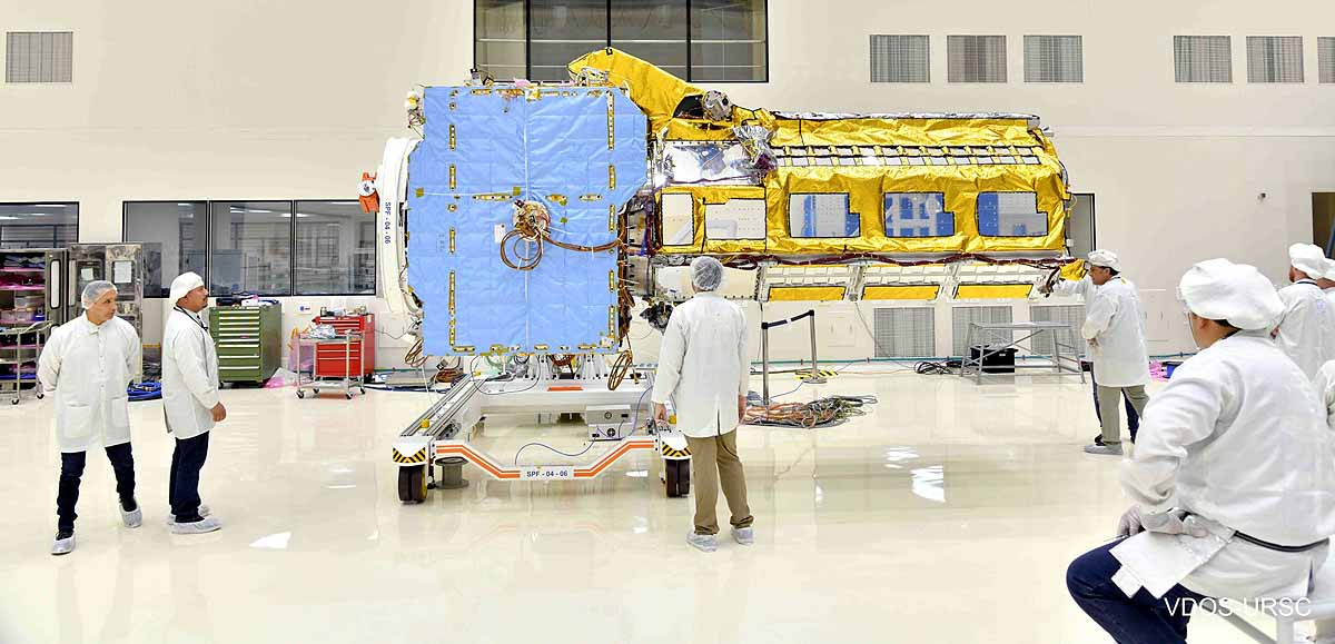
The Bureau of South and Central Asian Affairs (SCA) of the United States' State Department has announced that ISRO and NASA will together launch the NISAR Earth-imaging satellite this year. ISRO's chief, Dr. S. Somanath, personally visited the Jet Propulsion Laboratory to assume control of the NISAR satellite, making it one of the most significant joint scientific missions between India and the United States to date.
What is NISAR Satellite's Mission?
- NISAR satellite is set to protect the world from natural calamities. It's the most advanced and costly Earth observation satellite to date, with a staggering development cost of 10 billion rupees. - Beyond monitoring subsidence events in cities, it will provide early warnings for tornadoes, hurricanes, volcanic eruptions, earthquakes, melting glaciers, storm surges, wildfires, and rising sea levels, among other disasters. - NISAR will also relay information about space debris accumulation around Earth and potential threats from space.
Source: aajtak
How Will NISAR Function?
NISAR will feature two radar bands - L and S. These will keep track of the fluctuating vegetation on Earth, and study the effects of varying light conditions. India crafted the S-band transmitter, while NASA provided the L-band transponder.
NISAR to Complete an Earth Orbit Every 12 Days
NISAR's radar will deliver crystal-clear imagery for areas spanning up to 240 km and will recapture images of a given location every 12 days – the time it takes to orbit the Earth. Throughout this cycle, it will conduct rapid sampling across different Earth regions, providing scientists with valuable images and data.
Source: aajtak
The Five-Year Mission of NISAR, With Potential Extensions
While the mission is expected to last five years, NISAR will carry out comprehensive research on volcanoes, earthquakes, landslides, forests, agriculture, wetlands, permafrost, and changes in ice levels, among other topics.
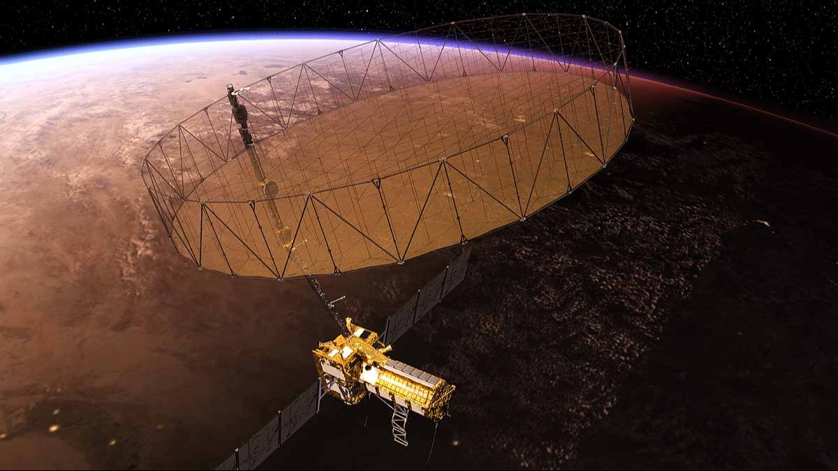
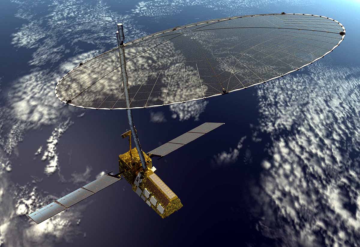
A Glimpse of NISAR Satellite in Space
The NISAR satellite will have a sizeable main bus housing numerous instruments, transponders, telescopes, and a radar system. In addition, an arm will extend from the satellite, culminating in a cylinder that, upon opening a few hours post-launch, will deploy a large antenna resembling an umbrella. This antenna is the satellite's synthetic aperture radar.