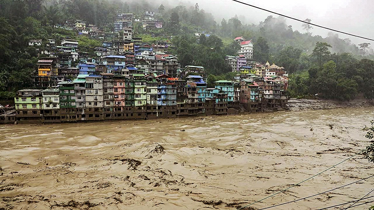
The monsoon has arrived. Areas in Delhi are submerged, but the greatest challenge is yet to come. Like every year, the Indian Himalayan states will witness flash floods and cloud bursting events. The region spanning Jammu & Kashmir, Leh-Ladakh, Himachal Pradesh, Uttarakhand, and the North-Eastern states is incredibly sensitive.
With each monsoon, these places brace for inevitable disasters. From June to October, somewhere or another, calamities strike. A recent scientific report featured a case study on flash floods and cloud bursts throughout Uttarakhand, focusing on the Nainital area.
Flash Floods and Cloud Busting: The Himalayan Challenge
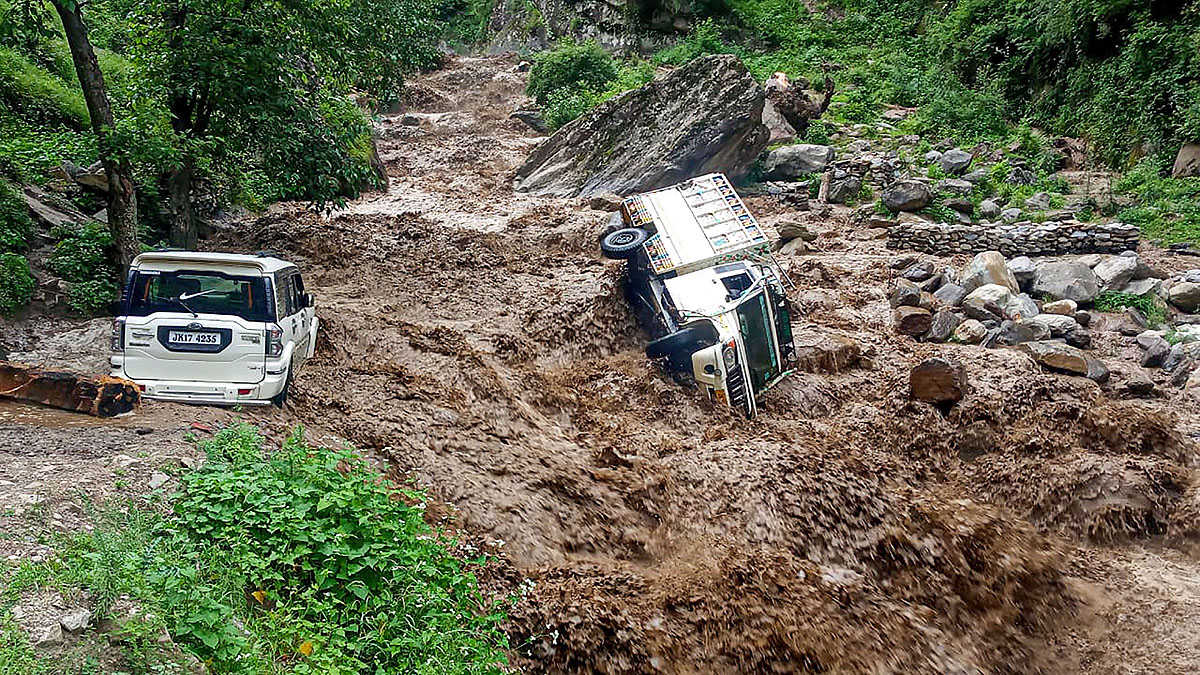
Source: aajtak
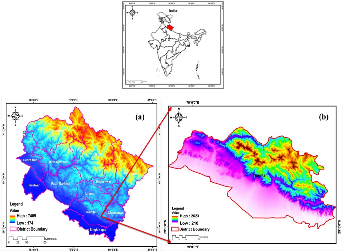
The study discusses how height, topographic scale, and other factors can lead to flash floods. Researchers delved into Nainital's geology, considering variables like elevation, pre-flood parameters, vapor levels, cloud density, aerosol optical depth, and more.
Rainfall Patterns Shift in Uttarakhand's Nainital
Detailed analysis of flash floods from 17 to 10 October 2021 shows the toll on life and property. The study indicates a shift in rainfall patterns in Nainital and nearby regions due to climate change. With the exception of July, every other month during the monsoon poses the threat of flash floods.
India's FFGS Monitoring Flash Floods
India's Meteorological Department collaborates with the US National Weather Service, Hydrologic Research Center, USAID, and OFDA to monitor flash floods, utilizing the Flash Flood Guidance System (FFGS). Operational since October 2020, FFGS provides alerts for potential flash flood zones every 6 to 24 hours, covering India, Nepal, Bhutan, Bangladesh, and Sri Lanka.
Source: aajtak
The Central Water Commission categorizes floods into 'Severe' and 'Extreme'. From 2020 to 2022, reported flooding events increased annually, with both severe and extreme floods recorded in Uttarakhand. Assam and Sikkim also experienced devastating floods.
The Monsoon's Toll on Himalayan Regions
Cloud bursting and flash floods are major disasters in the mountains, caused by heavy rains leading to swift destructive water flows. Annually, over 80 million people worldwide are affected by floods, including many beautiful states of India.
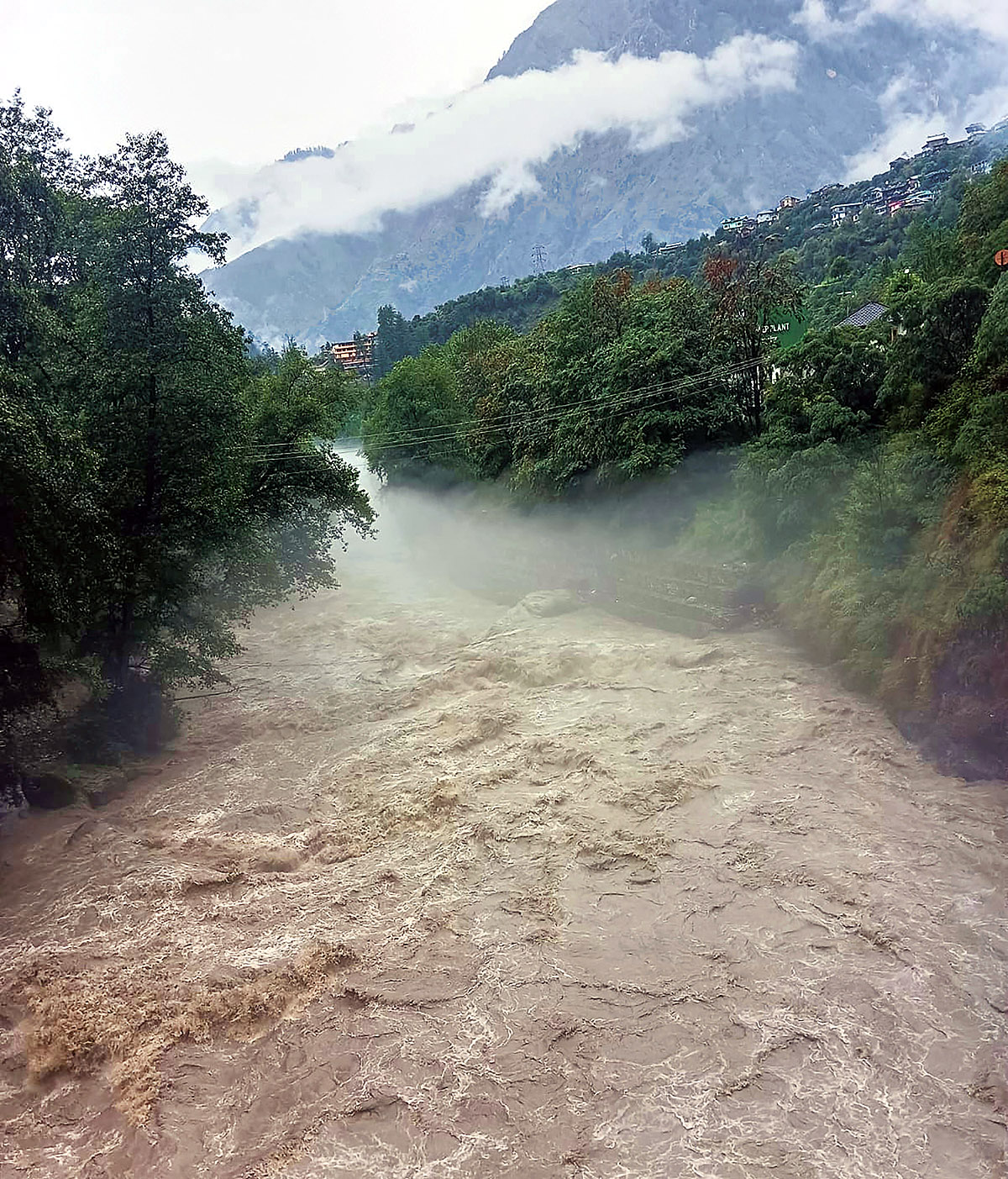
Source: aajtak
Cloud bursts in the Indian Himalayas are more common during the monsoon. For instance, the 2013 Kedarnath disaster, where clouds couldn't cross the peaks and burst over the Chorabari Glacier, had devastating consequences.
Why Does Uttarakhand Suffer Recurring Disasters?
Since the Industrial Revolution, temperatures in the Himalayas and Tibetan Plateau have increased, intensifying from 1951 and peaking between 2000 and 2014. This escalation is due to human-induced climate change, particularly aggravated by the Westerlies and this year further by El Niño.
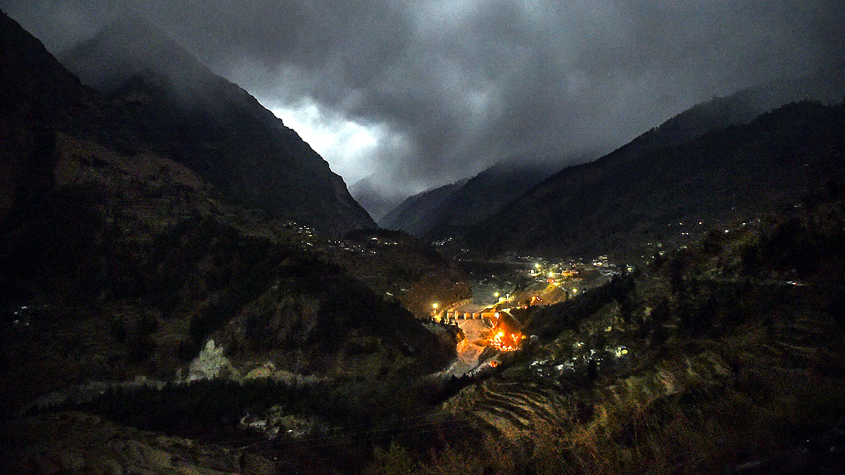
Uttarakhand, with altitudes ranging from 174 meters to 7,409 meters, has 93% of its area in the Himalayas, 64% forested. The state is where significant river basins originate, including Yamuna, Alaknanda, Ganga, Kali, Bhagirathi, and Ramganga.
Source: aajtak
Altitude and Weather: Drivers Behind Cloud Busting
In Uttarakhand, precipitation turns to snow above 3,000 meters. March and April see maximum temperatures between 34 to 38 degrees Celsius, rising to 42 degrees in May and June before dropping sharply post-September.
Beyond 2020, Uttarakhand experienced 30 cloud bursts, noticeably at mid-range altitudes of 1,000 to 2,500 meters, correlating the height with the frequency of such events.
