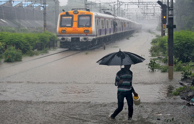
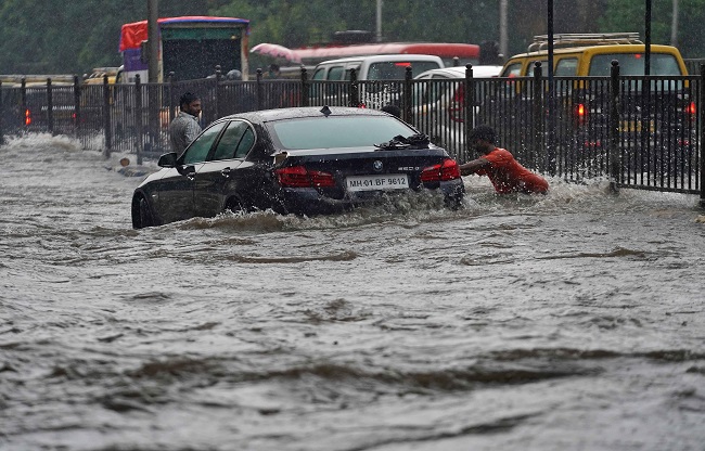
Mumbai grapples with chaos as rain wreaks havoc. Local trains are canceled due to waterlogging, and many flights are advised to be on alert. The weather department warns the city the ordeal is far from over. But what causes India's financial metropolis to succumb to flooding with every downpour, particularly just after a few hours of rain? The blame lies less with encroachment or urban planning, and more with the city's natural structure.
Devastation struck two decades ago
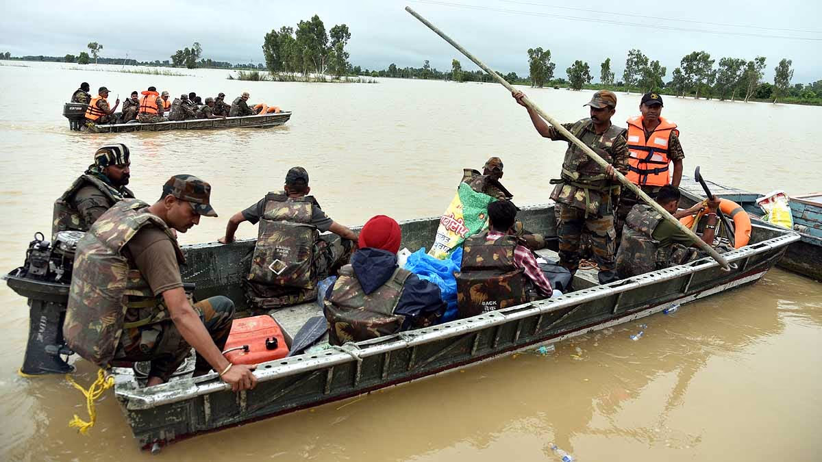
In July 2005, Mumbai faced its worst monsoon havoc. Over 900 millimeters of rain poured within 24 hours on July 26—equivalent to an entire month's downpour. The city's lifelines were choked: buses, trains, and airplanes ground to a halt. This tragic event claimed 1,094 lives due to drowning or being trapped, with financial damages amounting to approximately 5.5 billion rupees.
That monsoon season snatched the city's vitality in a heartbeat. Since then, continuous planning has been undertaken, even involving the Maharashtra Institute of Transformation alongside the Japan International Cooperation Agency to discuss an underground river project. This initiative aims to link with rivers to create a system that could collect overflow water, storing it for future use.
Why the discussion on rivers never ends
Surrounded not only by the Arabian Sea, Mumbai is home to four rivers—Mithi, Dahisar, Oshiwara, and Poisar—and four creeks. Together, they pose significant monsoon threats to a city harboring a population of nearly 21 million. Take the Mithi River for example; most stretches span merely 10 meters wide, leaving it perilously prone to overflow even during minor rainfall, heavily impacting the densely populated surroundings.
Source: aajtak
Mumbai's Unique Topography
Some regions of this coastal city are significantly lower than others, while some are perched at elevated levels. Mumbai, formed by the amalgamation of seven islands, has a distinct shape like a wavy plate. As rains commence, water naturally gravitates towards lower areas, accumulating rapidly. Regions such as Sion, Andheri Subway, Milan Subway, and Khar are prone to submerge under water within hours of rainfall.
An Uncommon Drainage Mechanism
Mumbai's drainage system is engineered to channel water into the sea. However, during heavy rainfall, when sea levels rise, drainage gates are sealed to prevent water from flowing back into the city, wreaking havoc. Once the sea level subsides, the drainage system takes about six hours to recommence operations, leaving the city submerged for the duration.
Unlike most other cities where the majority of rainfall seeps into the ground, in Mumbai, around 90% of the water drains through the system, overburdening it significantly.
Source: aajtak
Encroachment adds to the issue
As the nation's economic heart, Mumbai attracts people from across India. However, accommodations for this massive population influx aren't sufficiently planned. Many reside in lower-lying, sensitive areas without adequate provisions for water drainage or absorption. This is why even light rain can lead to widespread waterlogging.
Available Solutions
For years, Mumbai has been in discussions to implement an underground discharge channel inspired by Japan's successes in Tokyo. Facing constant flood threats for its population exceeding 35 million, Tokyo has lowered beneath sea level. To protect its citizens and infrastructure, Japan installed an underground channel that directs floodwater into the Edo River, pumped out as needed.
Mumbai is also exploring becoming a 'sponge city'. This concept envisions the city absorbing water like a sponge, with designs allowing immediate groundwater infiltration, hence alleviating pressure on the drainage system. Plans include enhancing green spaces as part of this sponge city strategy.