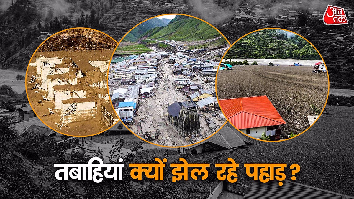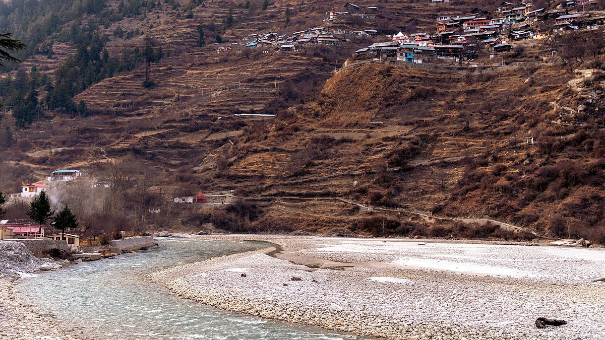
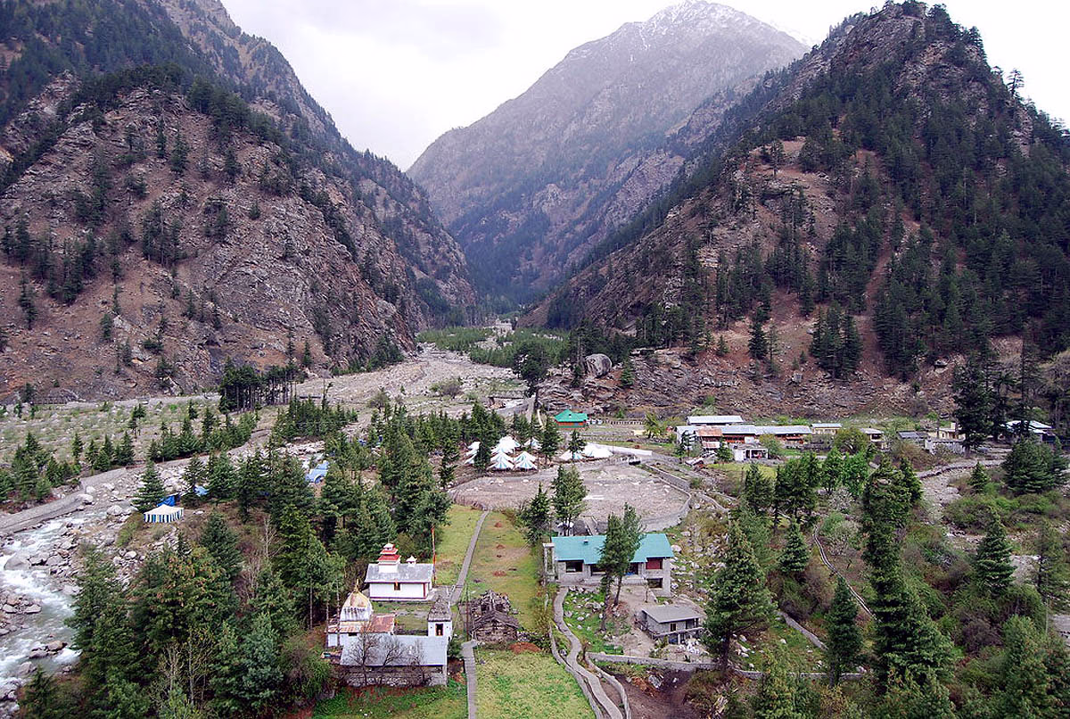
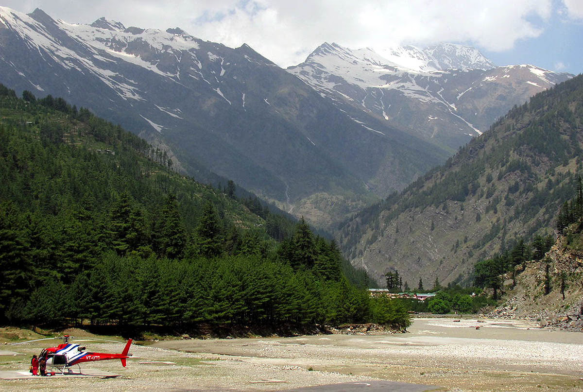
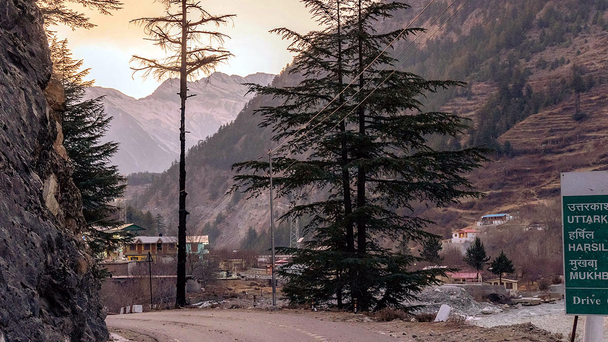
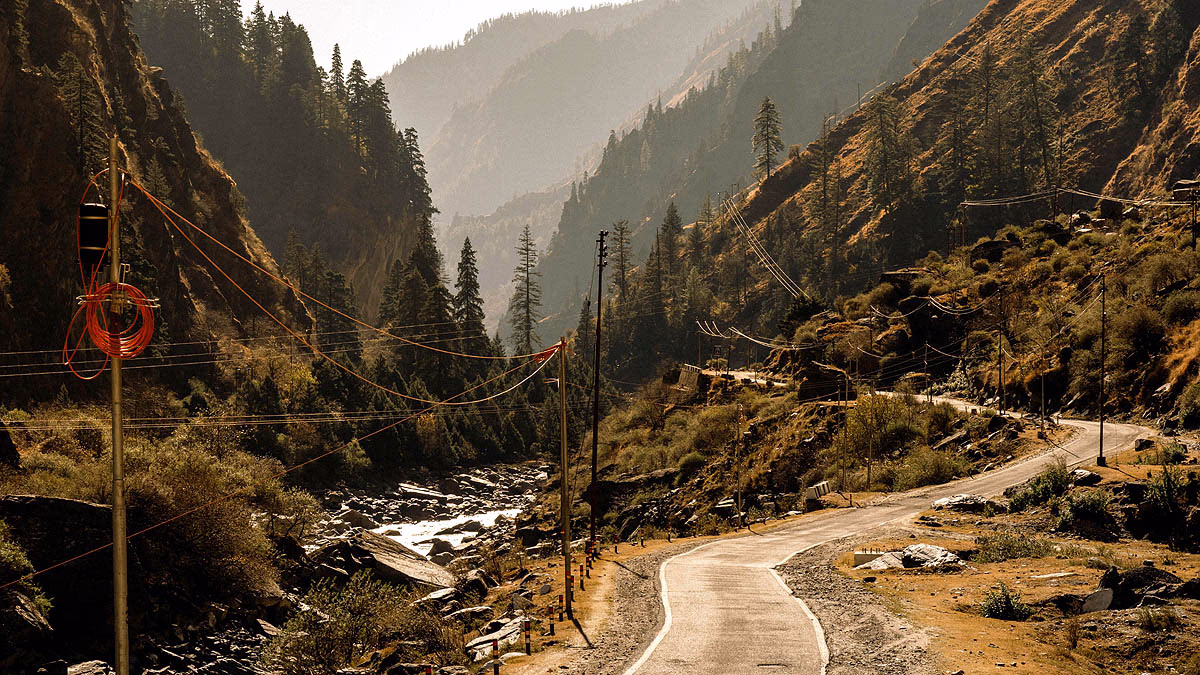
Perched at an altitude of 2,745 meters (9,005 feet) in the heart of the Uttarkashi district, Harsil Valley is a picturesque location nestled alongside the Bhagirathi River. Known for its stunning natural beauty, apple orchards, and as a gateway to the sacred Gangotri, this valley is also marked by its geologically sensitive makeup, rendering it prone to natural disasters like earthquakes, floods, and flash floods. Let's delve into the scientific truths and research findings to unravel the unique geology of Harsil Valley and why it is susceptible to these recurrent calamities.
Yearly Shifts in Harsil's Mountains
Located in the Garhwal Himalayas, Harsil Valley comprises one of the youngest and geologically active mountain ranges on Earth. The Himalayas arose from the collision of the Indian and Eurasian tectonic plates, which continue to inch towards each other at a rate of 40-50 millimeters annually. This ongoing collision generates immense pressure, commonly resulting in earthquakes, landslides, and rock falls.
Source: aajtak
Harsil Valley's Ancient Soil
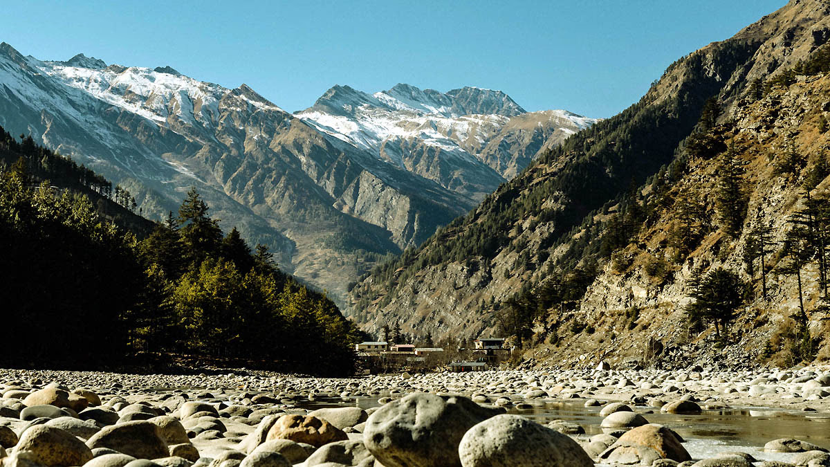
The soil and rocks of Harsil Valley primarily consist of schistose phyllite, phyllite, and slate phyllite, dating back to the Cambrian age, approximately 540 million years ago. The region also contains reserves of limestone, magnesite, and some metals. Along the banks of the Bhagirathi River lie deposits of sand, gravel, and large stones (alluvial material) carried by the river's flow, creating loose alluvial soil and rocks that heighten the risk of landslides and floods.
Earthquake Vulnerability in Harsil
Harsil Valley lies within seismic zones IV and V, notorious for being India's most earthquake-prone areas with the potential for quakes measuring 7.0 or higher on the Richter scale. According to the Geological Survey of India (GSI), the primary cause of these earthquakes in the Himalayan region is the ongoing collision between the Indian and Eurasian plates.
Source: aajtak
Scientific Insight:
Research by the Wadia Institute of Himalayan Geology indicates frequent minor earthquakes (3.0-4.0 in magnitude) in Uttarakhand. These small tremors may foreshadow larger quakes of up to 8.0 magnitude.
Notable Example:
In 1991, a 6.6 magnitude earthquake in Uttarkashi caused widespread damage across Harsil and surrounding areas. Earthquakes not only lead to infrastructure destruction but also trigger landslides and glacial bursts.
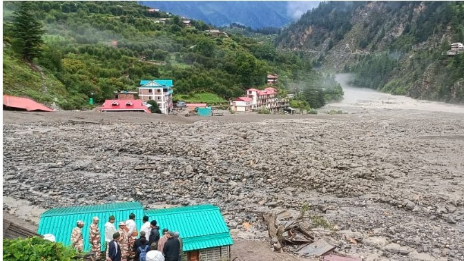
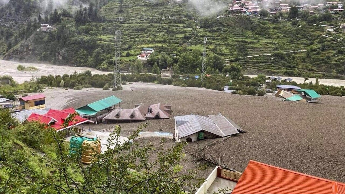
Floods and Flash Floods: Recurring Catastrophes
During the monsoon season, Harsil Valley frequently experiences floods and flash floods due to several factors...
Steep Slopes and Narrow Valleys:
The steep slopes and narrow valleys of Harsil accelerate water flow during heavy rainfall, significantly increasing the risk of floods and flash floods.
Heavy Rainfall and Cloudbursts:
According to the Indian Meteorological Department, Uttarakhand receives an average of 1000-1500 mm of rain during the monsoon (June-September) with August witnessing the heaviest showers. Cloudburst incidents, like those seen in the 2013 Kedarnath tragedy, are major triggers for flash floods.
Source: aajtak
Glacial Lake Outburst Flood (GLOF):
The vicinity of Harsil is dotted with glaciers, such as the Gangotri Glacier. Climate change has been accelerating their melt, forming glacial lakes that pose flood risks if breached, as observed in 2013 with the Chorabari Glacier lake burst, wreaking havoc in Kedarnath.
Landslides and River Blockages:
Landslides can obstruct rivers, forming temporary lakes that burst, causing floods. A similar event occurred in 2021 on Rishiganga and Dhauliganga rivers in Chamoli, where a glacial burst and landslide led to devastating floods, destroying the Tapovan Dam.
Impact of Alluvial Soil:
The alluvial soil (sand, gravel, and debris) along Harsil Valley's riverbanks is loose and prone to erosion during heavy rains or earthquakes, increasing landslide and flood risks.
Contribution of Human Activities
The threat of natural disasters in Harsil Valley is not solely attributed to the elements. Human actions also exacerbate these risks...
Source: aajtak
Unplanned Construction: Drilling and blasting for roads, tunnels, and hydroelectric projects weaken rocks, contributing to landslides, such as those seen with tunnel construction for the Rishikesh-Karnaprayag railway line.
Tourism Pressure: The influx of millions of tourists to Harsil and Gangotri annually strains natural resources, leading to deforestation and waste.
Climate Change: Accelerated glacial melt and varying rainfall patterns fueled by climate change heighten flash flood risks in Harsil.
Solutions and Disaster Management
The Uttarakhand government and scientific community have undertaken measures to enhance preparedness in vulnerable areas like Harsil...
Source: aajtak
Early Warning Systems: The 'U-Prepare' scheme employs sensors and satellite-based systems to alert about impending floods and landslides.
Disaster Management Infrastructure: Active roles of the State Disaster Response Force (SDRF) and State Disaster Management Authority (SDMA), with each district having a disaster management fund of 5 million rupees.
Sustainable Development: Constructing keeping seismic zones and environmental considerations in mind, opting for small, eco-friendly dams.
Forest Conservation: Preserving and planting forests, especially deodar trees in Harsil, can mitigate landslides.
Local Awareness: Disaster management training for locals ensures swift action in emergencies.