Clouds loom across the entire Delhi-NCR, yet showers are selective. This phenomenon, once sporadic, now sees an increase in its selective nature. A detailed article featured in the renowned science magazine
delves deep into this climatic puzzle.
According to the Indian Meteorological Department (IMD), between June 1 and July 10, western Delhi experienced a staggering 99% deficit in rainfall, whereas, just a stone's throw away, northwestern Delhi received 122% more than the usual, registering 1 millimeter in the west and a drenching 183 millimeters in the northwest.
Source: aajtak
The distance between Pusa's Automatic Weather Station (AWS) in western Delhi and the Pitampura station in the northwest is merely 12 kilometers. Delhi is home to 12 AWSs, an Automatic Rain Gauge, part time observation units, and several Synoptic Manual Observatories. These facilities gather crucial weather data for Delhi-NCR and its surrounding areas.
Varied Rain Patterns Bog Delhi's Monsoon
South Delhi is 23% below average in rainfall, southwest Delhi by 11%, and central Delhi by 9%. These figures were recorded from June 1 to July 10. July 10th marked an overall 11% more rainfall than average across Delhi, which witnessed a thunderous entry of monsoon around June 27-28.
Judging the monsoon's caprice: A scientific expedition into Delhi's climate
When the monsoon arrived in Delhi, it met with existing local weather patterns and a Western Disturbance. Influences from the moisture-laden Arabian Sea and Bay of Bengal were also prevalent, creating a mesoscale convective system, capable of carrying rain-laden thunderclouds across distances of up to 100 kilometers.
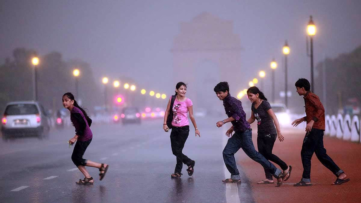
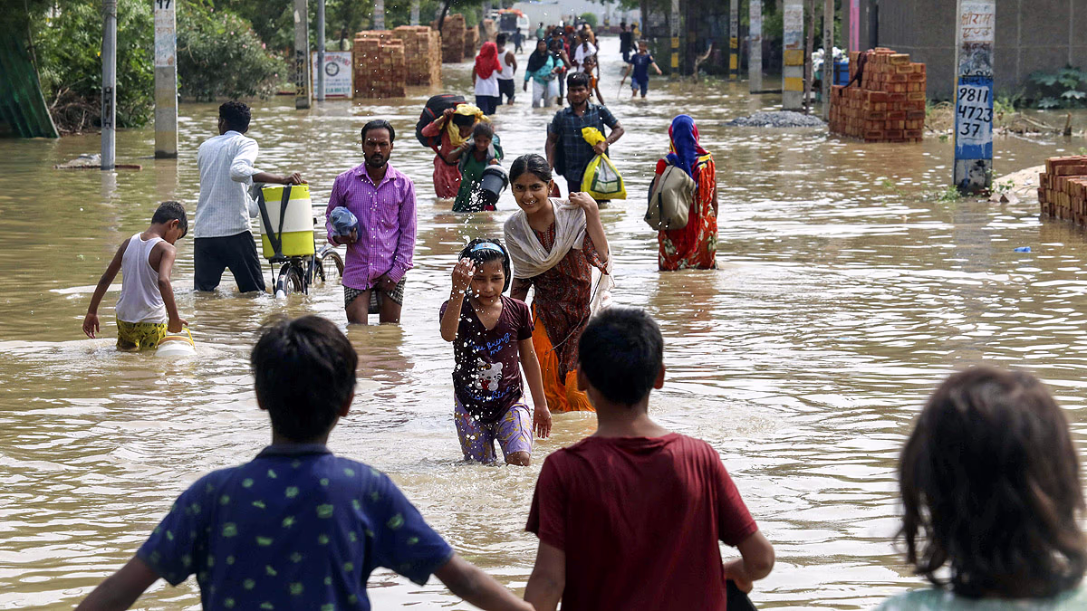
June's Deluge: A Historic Downpour
As a result, June 28th saw a torrential downfall that submerged vast areas of Delhi. Safdarjung's weather station recorded an astonishing 228.1 millimeters of rain in a single day, marking it as the second highest in June's recorded history. Media reports cite that the calamitous rain claimed as many as 14 lives due to related accidents.
Dissecting Delhi's Downpour Drama: A closer look at varying rainfall
Scientists have identified multiple causes when combined, lead to such erratic weather patterns. These include atmospheric heating, variation in surface heat, wind friction on the surface, humidity, the presence of vegetation, water bodies, and pollution, all contributing to Delhi's climate disruptions.
Why rainfall patterns differ: Unveiling the underlying causes
Associate Professor V. Vinoj from the School of Earth, Ocean and Climate Sciences at IIT Bhubaneswar shed light on this intricate issue. He explains that factors such as vegetation and aerosols in the air can amplify rainfall, while others like surface heat and wind direction might shift rainfall from one area to another.
Navigating through Delhi's Monsoon Puzzle
Moisture combined with ground level heat creates low pressure areas known for inducing rainfall. Urban structures create friction with the wind, slowing it down and increasing moisture at certain sites, which can lead to heavy rain.
Pollution's play in weather: Aerating the Thunderstorms and Peeving the Atmosphere
Notably, pollution creates aerosols that trigger cloud formation leading to thunderstorms. Given enough time, these clouds can expand, causing torrential rain in focused areas, leading to thunderstorms which in turn affects atmospheric heat.
Heat Islands Amidst Metropolitan Mayhem: Unpacking the Urban Heat Effect
The urban heat island effect plays a role in escalating atmospheric temperatures. Prof. Vinoj suggests to truly comprehend the rainfall patterns of any city, it's pertinent to study these factors and their relationship. He and his team are investigating several cities to understand how urbanization has altered their climatic conditions.