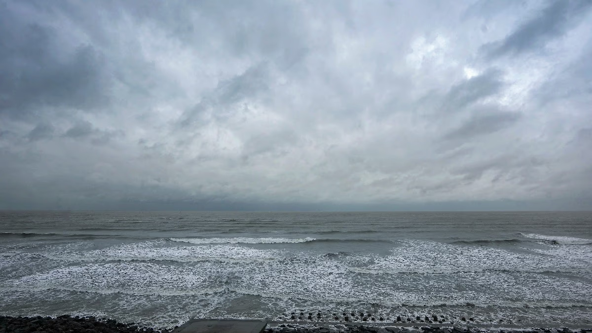
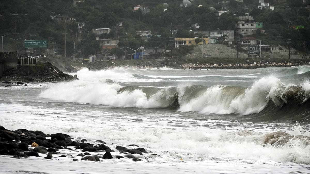
The cyclonic storm 'Dana', originating from the Bay of Bengal, has gained speed. From Thursday morning, Odisha has been experiencing heavy rain accompanied by strong winds. According to the weather department, Cyclone Dana is moving north-northwest at a speed of 12 kilometers per hour.
The weather department reported that the Dana cyclone will hit near the Bhitarkanika National Park and Dhamra Port on Thursday-Friday night, located adjacent to Puri. During this time, winds are expected to blow at a speed of 120 kilometers per hour.
On Friday morning, Cyclone Dana is likely to cross the coasts of northern Odisha and West Bengal, with Odisha experiencing the maximum impact. Before the cyclone, more than 1 million people need to be evacuated. Odisha's Chief Minister Mohan Majhi mentioned that by Wednesday morning, 30% of these individuals had already been evacuated.
Due to the cyclone, over 200 trains have been canceled. The National Disaster Response Force (NDRF) has deployed 56 teams across Odisha, West Bengal, Jharkhand, Andhra Pradesh, and Chhattisgarh. Of these, 21 teams are stationed in Odisha and 17 in West Bengal.
Coastal states are usually the most affected by cyclones, but Odisha faces these storms every year, taking the brunt of any cyclone. An Odisha government report reveals that over 260 cyclones have hit the state in the past 100 years.
Why Odisha?
Storms form in the ocean when the water on its surface heats up. This heated water rises, meeting cooler air above. On one side of India is the Arabian Sea, and on the other, the Bay of Bengal. Storms formed in the Bay of Bengal differ significantly from those in the Arabian Sea.
Most cyclones form in the Bay of Bengal because it is warmer than the Arabian Sea. Typically, the Bay of Bengal anticipates two major cyclones annually, often occurring between March and May or October and December.
Furthermore, Odisha's geographical positioning makes it a magnet for cyclones. Whenever a storm forms in the Bay of Bengal, it moves northwestward.
Odisha lies at a point where India's coastal line curves, making its shores the most affected by cyclones.
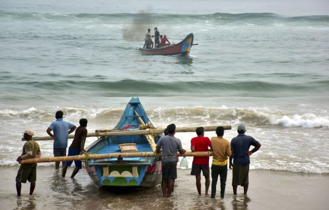
Source: aajtak
How Does Odisha Manage?
Odisha experiences cyclones yearly, but a massive cyclone in 1999 changed everything, earning the name 'Super Cyclone'.
A government report indicates that 9,885 people died in Odisha that year. Additionally, over 450,000 livestock perished, and more than 17,000 schools and 12,000 kilometers of roads were destroyed.
Learning from this storm, the Odisha government set a 'Zero Casualty' target. The Odisha State Disaster Management Authority (OSDMA) was established, making Odisha the first state to form such an authority—ahead of the National Disaster Management Authority (NDMA) formation in 2005.
The Odisha government not only raised awareness about natural calamities but also provided training to deal with them.
What Were the Results?
Years of preparation by the Odisha government have reduced cyclone-related deaths to double digits.
In 2013, Cyclone 'Phailin' hit Odisha, reminiscent of the 1999 storm. Wind speeds exceeded 250 kilometers per hour. However, the government was prepared and evacuated 1.1 million people from affected areas, resulting in only 44 deaths—23 of which occurred due to flooding post-cyclone. The United Nations honored Odisha's government for these efforts.
In 2014, Cyclone 'Hudhud' resulted in two casualties. When Cyclone 'Fani' approached in 2019, the government evacuated over 1.2 million people from affected areas.
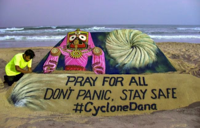
Source: aajtak
How Was This Accomplished?
Lessons from the 1999 cyclone prompted the government to provide grassroots training. Training was conducted in villages, even targeting women, for cyclone and natural disaster management. Mock drills are conducted twice annually, in June and November.
Nevertheless, training alone isn't sufficient. The government has also built necessary infrastructure.
A World Bank report from last year highlights that a road network has been developed along the entire coastline of Odisha to facilitate evacuation. Additionally, over 800 shelter homes have been constructed.
Embankments have been erected in coastal villages to prevent seawater intrusion. Homes have been built for residents of precarious huts. Furthermore, a warning system has been installed in 1,200 coastal villages to alert through sirens in case of floods, cyclones, or disasters. More than 120 coastal areas are monitored through surveillance towers.
