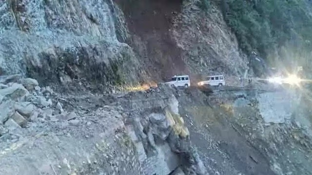
The Uttarakhand Disaster Management Authority has identified 55 existing landslide zones on the Char Dham Yatra route. This was revealed in a report by the authority's Landslide Mitigation and Management Center. A scientific analysis is being conducted to build a database, covering routes from Rishikesh to the four Char Dham pilgrimage sites.
The zones marked as sensitive for potential landslides on the Char Dham Yatra include fragile areas like Paglanala, Lambagarh, Pipalkoti, Patalganga, Birahi, Joshimath region, Devprayag, Kaudiyala, and Tota valley in the Pauri district.
Also Read: Landslides on Pithoragarh's Dharchula National Highway Snarls Traffic, See Shocking Photos
Monitoring Landslide Risks with 'Nabhnetra'
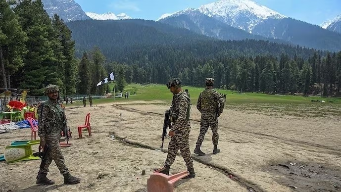
For high-risk landslide zones, the authority utilizes 'Nabhnetra'. This specialized drone collects real-time information on landslides. The aim is to efficiently manage traffic risks during the monsoon season.
Report Aims to Reduce Future Risk
Vinod Kumar Suman, Secretary of Uttarakhand State Disaster Management Authority, stated to India Today that hotspots on the Char Dham Yatra route are being identified. Comprehensive studies are underway to understand landslide nature in all areas, and a complete report is being prepared for all regions.
Also Read: Where to Build Homes in the Hills... Will there be a Landslide? IIT Delhi's New App Will Tell You!
This investigation, started in October, aims to cover landslides on the routes and prepare a detailed report. The information revealed in this report will aid in reducing potential future risks and ensuring a safe journey for pilgrims and tourists through timely action.