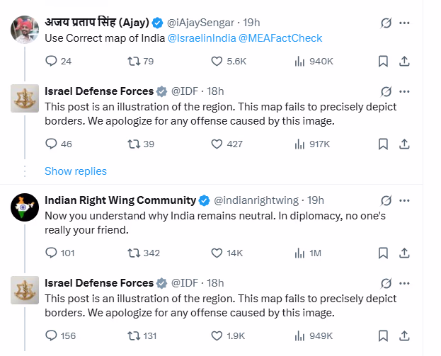
Amid tensions between Iran and Israel, the Israeli army shared a map of the Iranian missile range on social media, which mistakenly depicted Jammu and Kashmir as part of Pakistan and the northeastern states as part of Nepal. The Israeli army has since apologized for the error.
On Saturday, a day after releasing a map illustrating the extent of Iran's missile reach, the Israeli Defense Forces issued an apology. This map wrongly showed Jammu and Kashmir as belonging to Pakistan and the northeastern states of India as part of Nepal.
Map Illustrated Iran's Missile Range
The Israeli army clarified the day after the apology that the map was not meant to precisely represent national boundaries. The map, released amid escalating military conflicts between Israel and Iran, raised questions in India, with many Indian users voicing concerns on the IDF's social media post. Consequently, the IDF issued an apology.
Errors in India's Map Representation
The IDF, in a post on its X account on Friday, noted that Iran poses a global threat and that Israel is not the ultimate target, but rather, it’s just the beginning. The map depicted areas within Iran's missile range, including parts of India within its bracket.
User Reactions Prompt Apology
Reacting to the post, numerous users highlighted inaccuracies in India's representation on the map. The IDF responded by stating that the post was merely an illustration of the areas falling within missile range and did not depict boundaries accurately, expressing regret if this image had offended anyone.
Source: aajtak
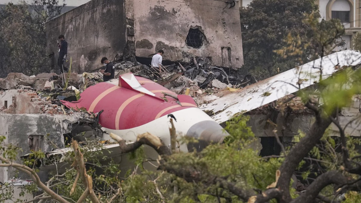
Ongoing Tensions Between Israel and Iran
According to the map shared by the Israeli army, countries like Russia, Ukraine, China, and Sudan, in addition to India, fall within the range of Iranian missiles. It's noteworthy that Israel conducted massive air raids on Tehran on Friday, followed by Iran launching missiles at Israel in response.