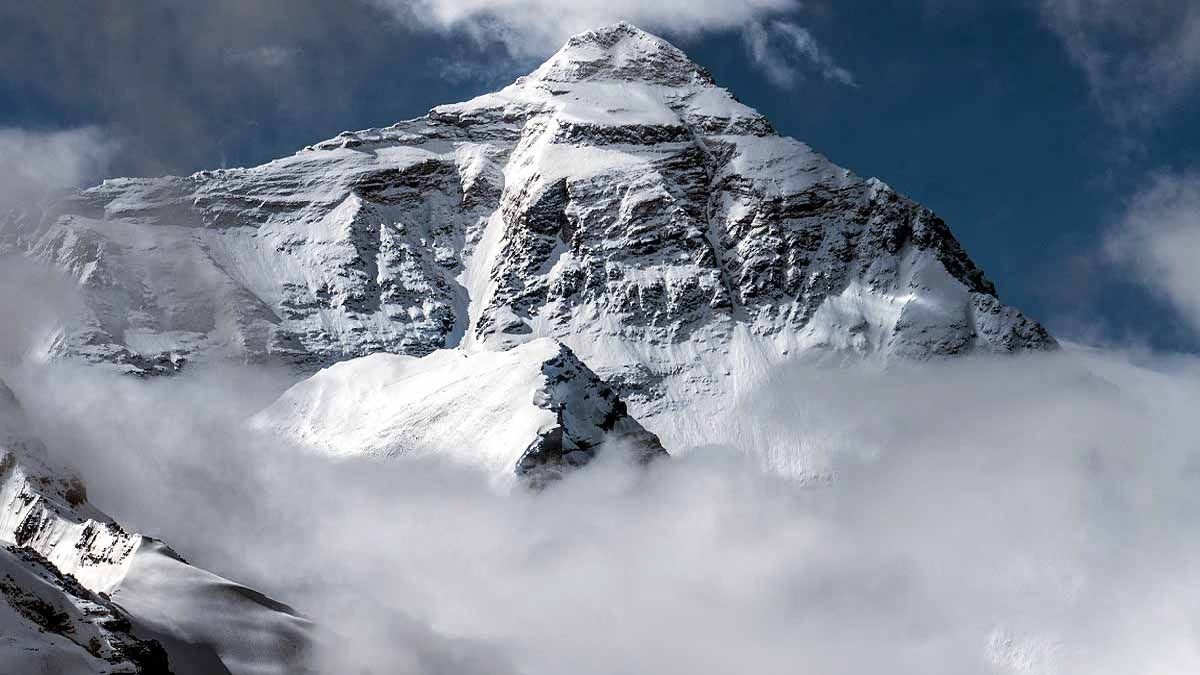
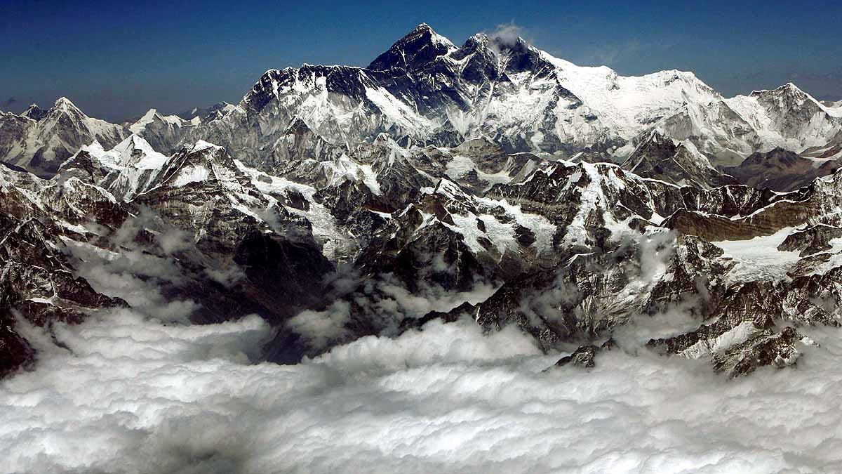
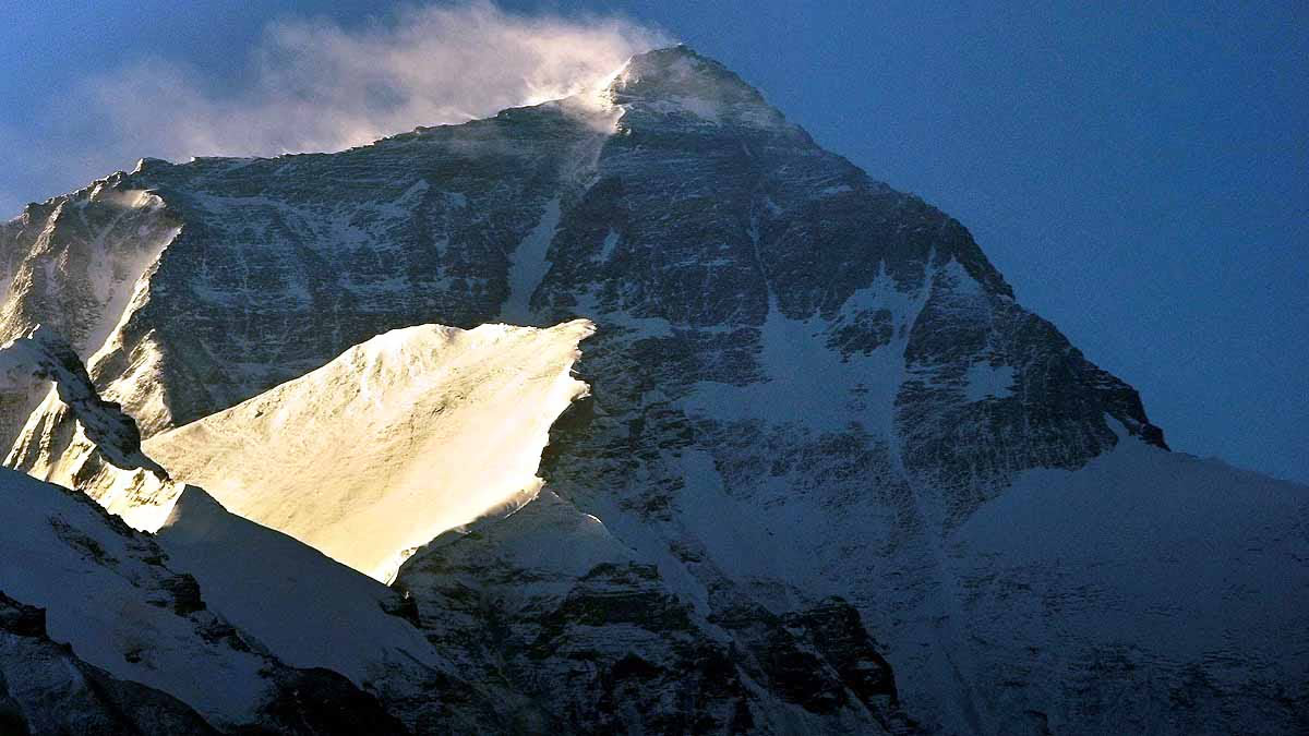
Mount Everest stands at an astounding 29,031.69 feet above sea level, making it the highest mountain on Earth. This majestic giant continues to grow taller. Scientists have identified an unusual river as the reason behind Everest's increasing height. According to the latest studies, a river in the Himalayas has contributed to a 164-feet rise in Everest's height.
This river is approximately 75 kilometers long. Around 89,000 years ago, another river intercepted it, resulting in erosion—soil breaking away and falling. This erosion created a deep valley, which resulted in the loss of significant landmass, forming the mountain.
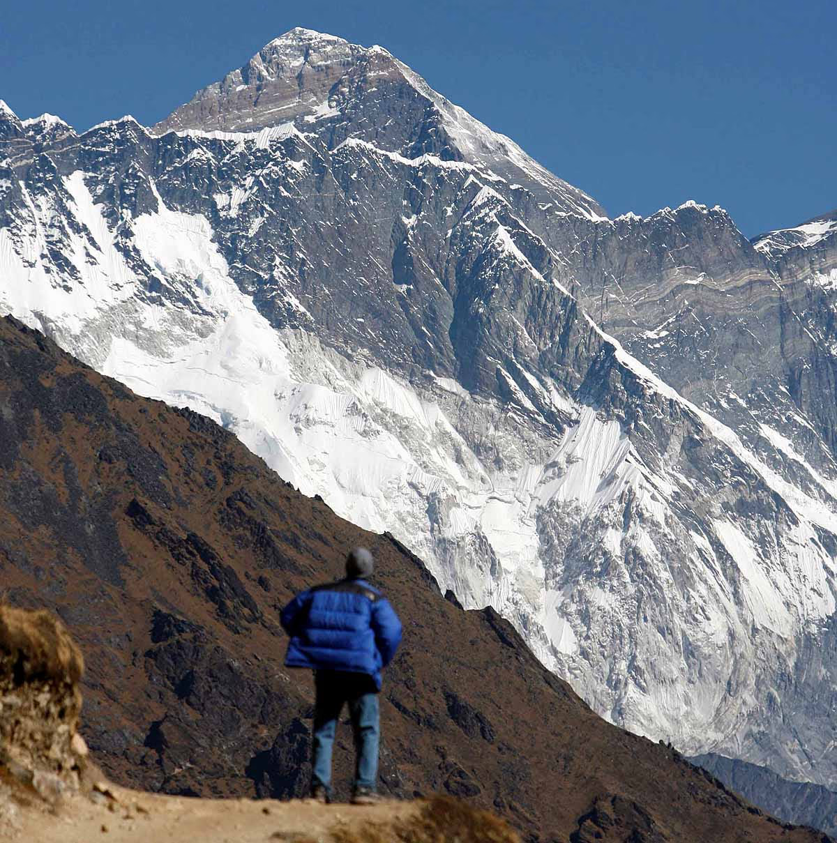
Let’s break down this complex story. Adam Smith, a scientist from the Department of Earth Sciences at University College London, explains that while most Himalayan peaks vary in height by 164 to 328 feet, Everest stands 820 feet taller than the second-highest peak, K2. This anomaly caught scientists' attention.
Read Also:
Source: aajtak
Everest Climbs 2 Millimeters Every Year
GPS data shows that Everest rises at a rate of 2 millimeters per year, much faster than any other mountain. This prompted Adam Smith and his team to study the Himalayan rivers to see if they were the cause, particularly focusing on Everest.
The Arun River: Key to Everest's Height Increase
Smith reveals that the Arun River, flowing near Everest, is crucial to this phenomenon. The river flows in an L-shape, unlike most others that branch out like tree limbs. The Arun River flows from east to west before making a sharp 90-degree turn southward into the Himalayas.
The Kosi River Joins with the Arun
This essentially means the river has changed its course, merging with another. This study was recently published in Nature Geoscience. To understand the Arun River, scientists examined the Kosi River's network. Flowing through China, Nepal, and India, this river effectively captured the Arun.
Read Also:
Source: aajtak
89,000 Years Ago: The Kosi Joins the Arun
The Arun River, the main branch of the Kosi, was captured by the Kosi around 89,000 years ago. This change led to significant erosion, carving out a deep valley and lightening the surrounding landmass, allowing Everest to rise.
The Confluence of Rivers Raised Everest by 164 Feet
The decreased weight of the surrounding landmass caused Everest to rise. Ever since the Kosi captured the Arun, Everest has lifted by 50 to 164 feet. The exact mechanism of this capture remains a mystery that scientists are still investigating.
Did a Natural Dam Between the Rivers Break?
It's possible that the main branch of the Kosi captured the Arun mid-course, stealing a significant portion of it. Another theory is that a glacial lake overflowed, breaking the natural dam between the Arun and Kosi rivers, causing them to merge.
Read Also:
Source: aajtak
The formation of the Himalayas began around 40 to 50 million years ago. Unlike typical converging plates, where one subducts beneath the other, the Indian and Eurasian plates collided, causing the land to rise. Extending roughly 2,500 kilometers from west to east, the western edge lies near Nanga Parbat by the northern bend of the Indus River.
The eastern edge extends to Namcha Barwa, west of the Yarlong Tsangpo (Brahmaputra) river. The width of the Himalayas varies from 150 kilometers in some areas to 350 kilometers in others.
The Himalayas: A Bowl Hanging Towards India
Stretching from Kashmir to Arunachal Pradesh, the Himalayas span a 2,500 km long belt. From Nanga Parbat in the Indus Valley to Namcha Barwa in the northeast, the range appears to hang like a bowl towards India if viewed from above.
This is the same Himalayas where 10 out of the 14 peaks exceeding 8 kilometers are found. These mountains were formed from the compression of Earth's topmost crust. In the northwest near the Hindu Kush, Pamirs, and Nanga Parbat regions, the crust thickness reaches 75 km, while in Jammu and Kashmir, it's 60 km thick.
In Himachal Pradesh, it's only 51 km thick. The depth decreases towards Himachal, but the crust thickens again to 75 km from Himachal to Nepal, forming a bowl-like structure beneath the surface.
